Doncaster Circular Walk
![]()
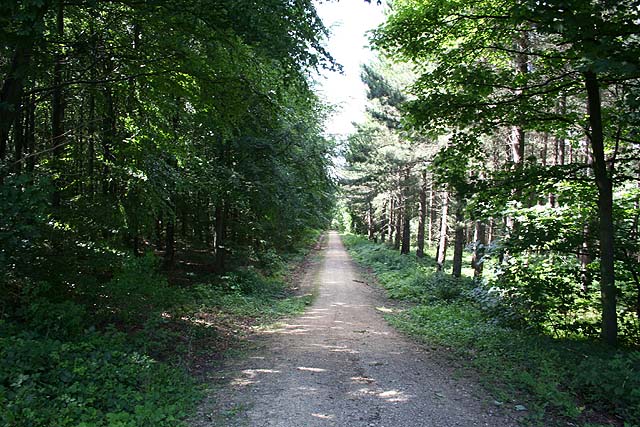
![]() This is a circular walk through the countryside and woodland around the Yorkshire town of Doncaster. The Doncastrian Way walk includes lovely waterside stretches along the River Don and the River Torne, while there are also pleasant woodland sections through Edlington and Wadworth Wood. The path passes the villages of Wadworth, New Rossington and Auckley.
This is a circular walk through the countryside and woodland around the Yorkshire town of Doncaster. The Doncastrian Way walk includes lovely waterside stretches along the River Don and the River Torne, while there are also pleasant woodland sections through Edlington and Wadworth Wood. The path passes the villages of Wadworth, New Rossington and Auckley.
For a shorter route try our Doncaster River Walk which runs from Doncaster to Conisbrough along the Don.
Here you can visit the impressive Conisbrough Viaduct and enjoy fine views from the top of structure. There's also the picturesque weirs at Sprotbrough Falls to enjoy in this area. The walk forms part of the Don Valley Way, a long distance route which can be followed all the way to Sheffield.
Doncastrian Way - Doncaster Circular Walk Ordnance Survey Map  - view and print off detailed OS map
Doncastrian Way - Doncaster Circular Walk Open Street Map  - view and print off detailed map
Doncastrian Way - Doncaster Circular Walk OS Map  - Mobile GPS OS Map with Location tracking
Doncastrian Way - Doncaster Circular Walk Open Street Map  - Mobile GPS Map with Location tracking
Pubs/Cafes
You could enjoy a pit stop in Wadworth at The White Hart. Its a traditional family run pub serving high quality home cooked food daily. All their produce and products are sourced from local butchers and greengrocers. You can find them on the Main Street at postcode DN11 9AZ. They are dog friendly.
Further Information and Other Local Ideas
For more walking ideas in the area see the Yorkshire Walks page.
Cycle Routes and Walking Routes Nearby
Photos
Main Street in Wadworth. Notable historic buildings in the village include the Grade I listed Wadworth Hall and the parish church of St John the Baptist.
Elevation Profile


