Dovedale Circular Walk
![]()
![]() This popular circular walk takes you from Dovedale to Milldale using sections of the Tissington Trail and Limestone Way to take you on a tour of this popular area of the Peak District. It's just under 10 miles and includes riverside paths, woodland sections and some moderate hill climbs.
This popular circular walk takes you from Dovedale to Milldale using sections of the Tissington Trail and Limestone Way to take you on a tour of this popular area of the Peak District. It's just under 10 miles and includes riverside paths, woodland sections and some moderate hill climbs.
The walk starts in the little village of Tissington where parking is available. It's a popular and picturesque place with pretty little cottages and a village pond.
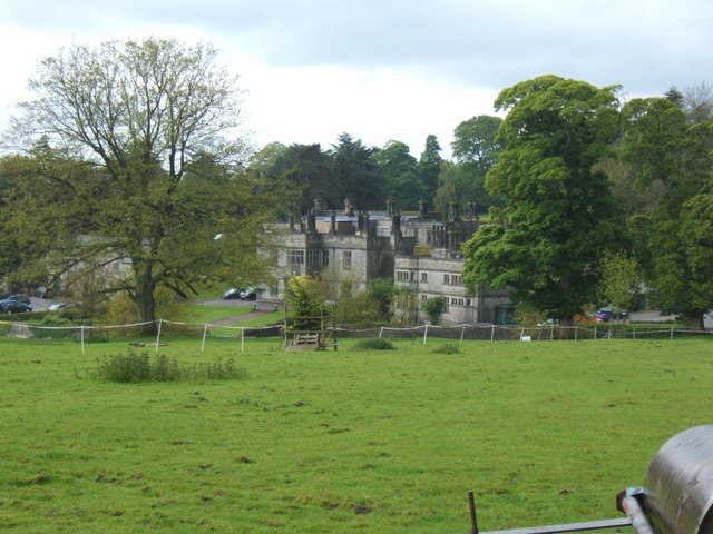
From Tissington you can pick up a section of the Limestone Way and follow it south west to Thorpe, passing Tissington Hall on the way. The 17th-century Jacobean mansion is Grade II* listed and includes pretty garden terraces and a stable block. It is open to the public at certain times of the year.
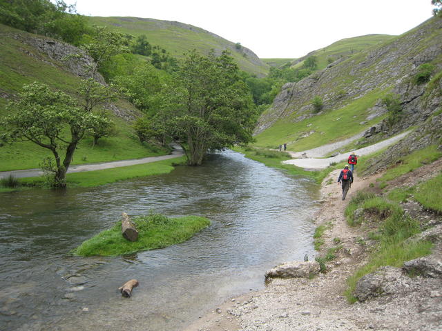
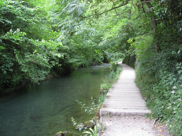
From Thorpe you head west to St Mary's Bridge on the River Dove, where you pick up a riverside footpath heading north towards Thorpe Cloud and the photogenic Dovedale Stepping Stones. The delightful valley is one of the most popular places in the national park with its distinctive limestone scenery, fascinating caves and diverse plant life.
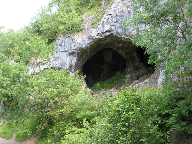
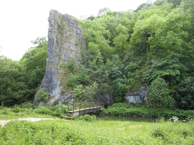
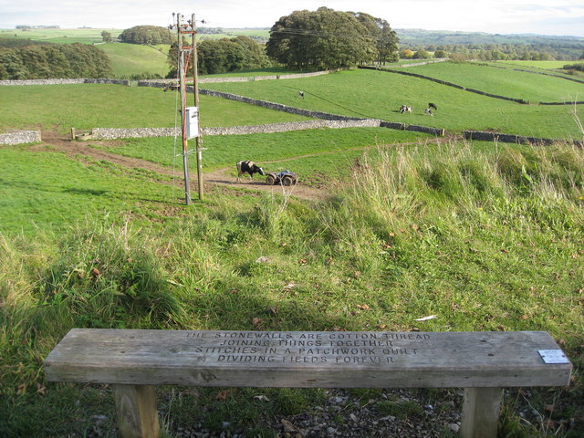
You continue north past Bunster Hill, the Dove Hole Caves and the striking Ilam Rock before coming to Milldale. Here you turn east away from the river, towards Alsop en le Dale, where you pick up the Tissington Trail. The shared cycling and walking trail will take you south east back to the village and the finish point. On the open sections of the trail there are seats where you can enjoy fine views of the surrounding Derbyshire countryside.
If you enjoy this walk then you could try our Ilam Circular Walk which is of a similar length and level of difficulty.
It starts from the National Trust's Ilam Park car park and visits the Manifold Valley and the River Hamps.
Dovedale Circular Walk Ordnance Survey Map  - view and print off detailed OS map
Dovedale Circular Walk Open Street Map  - view and print off detailed map
Dovedale Circular Walk OS Map  - Mobile GPS OS Map with Location tracking
Dovedale Circular Walk Open Street Map  - Mobile GPS Map with Location tracking
Pubs/Cafes
On the route you could stop off at The Old Dog in Thorpe village. The charming old pub does good food and has a nice courtyard to sit out on warmer days. You can find the pub on Spend Lane with a postcode of DE6 2AT for your sat navs.
Dog Walking
The river and surrounding woods are excellent dog walking country so you're bound to see plenty of other owners on a fine day. The Old Dog pub mentioned above is also dog friendly (as the name suggests!).
Further Information and Other Local Ideas
For an alternative circular walk through the dale see the Ilam Dovedale Circular Walk which starts from the car park at the National Trust's Ilam Park. This will take you up to up to Stanshope on country lanes before heading into Dovedale at the Dove Holes caves. It then visits the stepping stones and Lovers Leap before returning to the car park.
The circular Fenny Bentley Walk visits Thorpe Cloud and Dovedale from the pretty village to the east. The village is worthy of exploration with the pretty Bentley Brook, a 14th century church and a fine inn with particularly lovely gardens to see. The route also visits the 17th-century Jacobean mansion house at Tissington Hall.
The delightful village of Parwich lies just a few miles to the east of Dovedale. There's a pretty village green, old limestone cottages and a pub dating back to the 1600s. You can reach the village on the Limestone Way from Thorpe.
For more walking ideas in the area see the White Peak Walks page.
