Dromore Riverside Walk
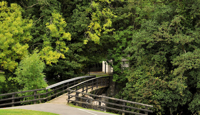
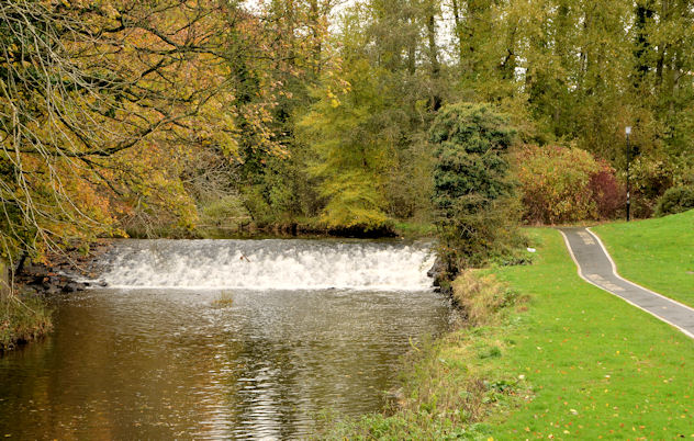
![]() This riverside walk takes you along the River Lagan in the pretty market town of Dromore in County Down.
This riverside walk takes you along the River Lagan in the pretty market town of Dromore in County Down.
Starting in the town centre you can follow the Lagan Walkway west to the Dromore Town Park where there are good views of the historic viaduct. In the park there are natural woodland areas and lots of wildlife to look out for. You can also cycle on the custom made pump track.
To continue your walking around Dromore head south east into the Mourne Mountains and try the climb to Slieve Croob.
Please scroll down for the full list of walks near and around Dromore. The detailed maps below also show a range of footpaths, bridleways and cycle paths in the area.
Dromore Open Street Map  - view and print off detailed map
Dromore Open Street Map  - Mobile GPS Map with Location tracking
Walks near Dromore
- Slieve Croob - This walk climbs to Slieve Croob in the Dromara Hills area of the Mourne Mountains in County Down.
- Oxford Island - Visit this beautiful nature reserve on the shores of Lough Neagh on this easy circular walk
- Drumkeeragh Forest - This expansive area of woodland is located near Ballynahinch on the slopes of Slieve Croob.
- Montalto Estate - This walk visits the Montalto Estate in Ballynahinch in County Down.
- Lady Dixon Park - This 128 acre park in Belfast is a great place for an afternoon stroll
- Lagan Valley Regional Park - Starting from the Shaw's Bridge car park follow the Lagan towpath along the river Lagan on this lovely walk in Belfast
Photos
Dromore War Memorial. The town's centre is Market Square, which has a rare set of stocks. It is in the old linen manufacturing district. Dromore has the remains of a castle and earthworks, although these have modern buildings surrounding them, a large motte and bailey or encampment (known locally as "the Mound"), and an earlier earthwork known as the Priest's Mount on the Maypole Hill.
Dromore Viaduct from Kilntown. The viaduct is roughly 101m long and 6m wide, having been built to carry only a single track. The viaduct consists of seven arches, 10m apart, with the piers being 1.5m wide. The piers and abutments are made of ashlar blackstone, whilst the parapets, which stand a metre above arch level, are coped with chamfered sandstone.[1] The viaduct stands at 23 metres tall. Construction began in 1860 and was completed the following year, opening to railway traffic in 1863 with the first train on 13 July that year. It was designed by Thomas Jackson of Messrs Greene & King, who built the line from Knockmore to Banbridge. Jackson was also responsible for designing Hillsborough and Dromore railway stations


