Dufftown to Craigellachie and Aberlour Walk
![]()
![]() This walk follows a popular section of the Speyside Way from Dufftown to Aberlour via Craigellachie.
This walk follows a popular section of the Speyside Way from Dufftown to Aberlour via Craigellachie.
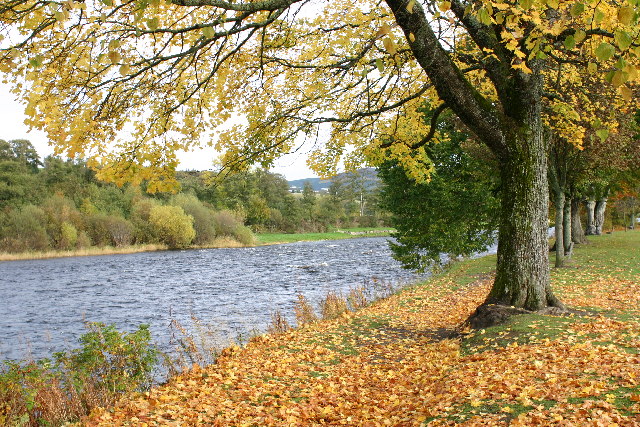
The walk runs for about 6 miles along a disused railway with lovely riverside and woodland sections along the way.
You start off in Dufftown near the train station and head north along the River Fiddich to Craigellachie. The route then heads south west along the River Spey to finish in Aberlour. Here you can visit the Aberlour Distillery and the lovely Linn Falls which lies just south of the river.
Dufftown to Aberlour Walk Ordnance Survey Map  - view and print off detailed OS map
Dufftown to Aberlour Walk Open Street Map  - view and print off detailed map
Dufftown to Aberlour Walk OS Map  - Mobile GPS OS Map with Location tracking
Dufftown to Aberlour Walk Open Street Map  - Mobile GPS Map with Location tracking
Pubs/Cafes
In Aberlour at the end of the route there's The Mash Tun for some post walk refreshments. It's in a great riverside location next to the pretty Alice Little Park. Built in 1896 as the Station Bar, you can now enjoy refreshments on the former station platform and enjoy the view of the old railway line running past the door, which is now the Speyside Way long distance trail. The pub includes a garden area with fine views over the fields and car parking. You can find them at postcode AB38 9QP for your sat navs. The pub is dog friendly.
Cycle Routes and Walking Routes Nearby
Photos
River Fiddich and sandy flood plain. Looking upstream towards Dufftown, note the wide sandy flood plain, photographed here during a rare dry spell in June.
Dufftown spur of the Speyside Way. Taken at a cutting in the former railway line running along the river Fiddich valley. This track is a popular walk and cycleway.


