Eartham Woods
![]()
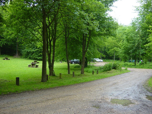
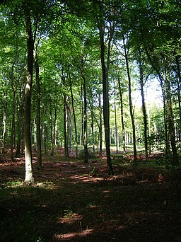
![]() This large area of beech woodland near Slindon has some nice footpaths to follow. The woods are a great place to see bluebells in the spring months. You may also see deer, woodland birds and various butterflies as you make your way through the forest. You can start your walk from the car park located at the south eastern end of the woods, just to the north of the village of Eartham.
This large area of beech woodland near Slindon has some nice footpaths to follow. The woods are a great place to see bluebells in the spring months. You may also see deer, woodland birds and various butterflies as you make your way through the forest. You can start your walk from the car park located at the south eastern end of the woods, just to the north of the village of Eartham.
The woods are part of the wider National Trust owned Slindon Estate. The 1400 hectare estate has miles of excellent trails with wonderful views over the South Downs to enjoy.
The Monarch's Way also runs through the woods. You could pick up the long distance trail and head east to the nearby Houghton Forest. The expansive Goodwood Country Park is just to the west while the Grade II listed Halnaker Windmill and viewpoint is also very close by.
Postcode
PO18 0LU - Please note: Postcode may be approximate for some rural locationsEartham Woods Ordnance Survey Map  - view and print off detailed OS map
Eartham Woods Open Street Map  - view and print off detailed map
Eartham Woods OS Map  - Mobile GPS OS Map with Location tracking
Eartham Woods Open Street Map  - Mobile GPS Map with Location tracking
Dog Walking
The woods are a great place for a dog walk with miles of wide trails to try. You'll probably see plenty of other owners on a fine day.
Cycle Routes and Walking Routes Nearby
Photos
A bicycle rests against a bench in the picnic area. The small ring of white stones appear to be an area for fires. Fine place to stop for lunch on a warm September's afternoon.


