East Harptree Woods Walk
![]()
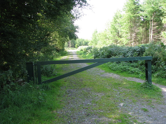
![]() This walk explores East Harptree Woods near the village of East Harptree in Somerset.
This walk explores East Harptree Woods near the village of East Harptree in Somerset.
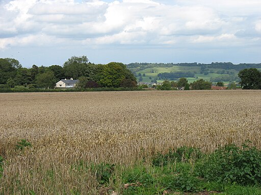
The village is located in the Mendips Hills overlooking the Valley of the River Chew. You can find the woods just to the south west of the settlement. There's a public car park at the woods or you can stroll down from the village through Harptree Combe.
At the site there are a series of peaceful woodland trails leading to the Smitham Chimney. The photogenic 19th century structure is a reminder of the lead mining history of the area. It is a Grade II listed building and is an added attraction to this quiet woodland area.
The Monarch's Way runs past the eastern side of the woods. You could pick up this trail and follow it north to neighbouring Compton Martin to extend the walk. Here you will find a noteworthy Norman church, an historic 16th century pub and the picturesque millpond which is the source of the Congresbury Yeo River.
Postcode
BS40 6DA - Please note: Postcode may be approximate for some rural locationsEast Harptree Woods Ordnance Survey Map  - view and print off detailed OS map
East Harptree Woods Open Street Map  - view and print off detailed map
East Harptree Woods OS Map  - Mobile GPS OS Map with Location tracking
East Harptree Woods Open Street Map  - Mobile GPS Map with Location tracking
Walks near East Harptree
- Compton Martin - This pretty Somerset village is in a fine location for exploring the Chew Valley on foot
- Blagdon Lake - Along the northern end of this large lake you'll find a lovely footpath running along the lake shore and through the lakeside woodland
- Chew Valley Lake - This walk follows the delightful nature trail which runs along the eastern side of this large lake in Chew Stoke
- Two Rivers Way - Starting on Congresbury Bridge over the River Yeo follow the Two Rivers Way through Somerset to Keynsham on the River Avon
- Chew Magna - The pretty village of Chew Magna is located close to the northern edge of the Mendip Hills and was designated a conservation area in 1978
- Burrington Combe - Explore this fascinating carboniferous limestone gorge on this circular walk in the Mendip Hills AONB
- Litton Reservoir - This circular walk visits the Litton Reservoirs in the village of Litton in the Mendip Hills area of Somerset.
- Limestone Link - Starting at Cold Ashton in St Catherine's Valley, Gloucestershire follow the Limestone Link from the Cotswolds to the Mendip Hills in Somerset.
The walk first heads south towards Batheaston where you join the River Avon and the Kennet and Avon Canal for a lovely waterside stretch to Monkton Coombe - Cheddar Gorge - This is a circular walk around the magnificent Cheddar Gorge in Somerset.
- Cheddar Reservoir - Follow the waterside path around this reservoir on this easy circular walk in Somerset
- Velvet Bottom Circular Walk - This circular walk explores Velvet Bottom, a nature reserve in a dry limestone valley, located just to the north east of Cheddar Gorge.
Pubs/Cafes
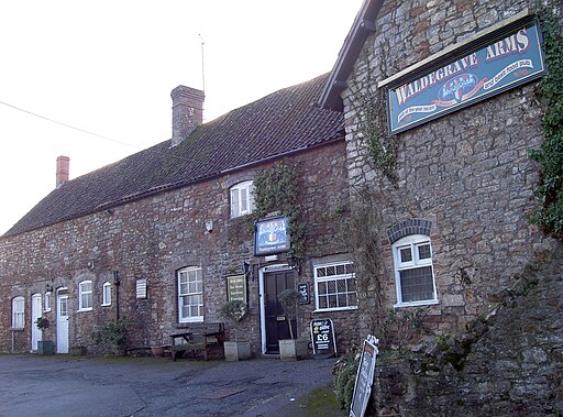
In East Harptree village you could enjoy some post walk refreshments at the Waldegrave Arms. The refurbished 16th-century country inn retains much of its original character with low wooden beams throughout. Outside there's a large garden area for warmer days. The impressive original pub sign featuring the Waldegrave coat of arms was rescued by the current licensees and now features prominently behind the bar.
You can find them on Church Lane at postcode BS40 6BD for your sat navs.
Just south of the woods there's also the Castle Of Comfort. The historic inn is believed to have earned it’s name for providing refreshments to prisoners travelling from Wells Jail to Gibbets Brow, where they were due to be hanged in the region of the notorious “Hanging” Judge Jeferies. They serve excellent home cooked food which you can enjoy in a splendid large garden area with views of the countryside. The pub is located just a short hop from the woods car park at postcode BS40 6DD for your sat navs.
Dog Walking
The woodland trails are ideal for dogs and both the local pubs mentioned above are dog friendly too.


