GPS Cycle and Walking Routes

Enfield Canal Walk

8.02 miles (12.9 km)

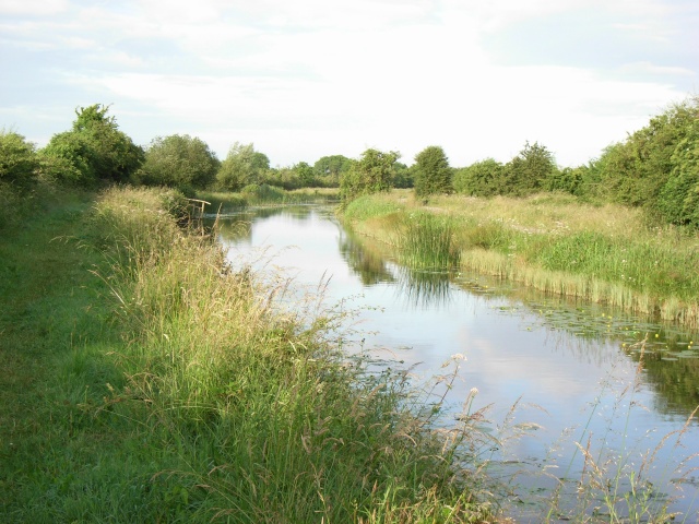
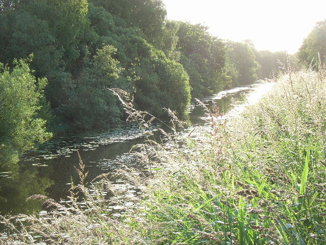
This walk follows a pleasant section of the Royal Canal from Enfield to Kilcock in County Meath.
The route runs for about 13km along the waterside trail between the two villages. On the way you will pass a series of pretty locks and enjoy some lovely views of the surrounding countryside.
You can extend the walk by continuing east to visit Maynooth. The historic Trim Castle is also located just to the north.

Enfield Canal Walk Open Street Map - Mobile GPS Map with Location tracking

Cycle Routes and Walking Routes Nearby

Photos

Royal Canal at Enfield Station, Co. Meath - geograph.org.uk - 1387821

Royal Canal at Enfield Station, Co. Meath

Royal Canal East of Cloncurry Bridge, Co. Meath - geograph.org.uk - 1387815

Royal Canal East of Cloncurry Bridge, Co. Meath

Royal Canal at Kilbrook, Co. Kildare - geograph.org.uk - 1387810

Royal Canal at Kilbrook, Co. Kildare

Royal Canal at Ardrums Great, Co. Meath - geograph.org.uk - 1387805

Royal Canal at Ardrums Great, Co. Meath

Royal Canal west of Fern's Lock, Co. Meath - geograph.org.uk - 1387791

Royal Canal west of Fern's Lock, Co. Meath

16th Lock on the Royal Canal in Kilcock, Co. Kildare - geograph.org.uk - 1387786

16th Lock on the Royal Canal in Kilcock, Co. Kildare

Video

GPS Files

GPX File

Enfield Canal Walk.gpx (On Desktop:Right Click>Save As. On Ipad/Iphone:Click and hold>Download Linked File)