Fairfield Nature Reserve Walks
1.4 miles (2.2 km)
![]()
![]() This pretty nature reserve is located in the Abraham Heights area of Lancaster in Lancashire.
This pretty nature reserve is located in the Abraham Heights area of Lancaster in Lancashire.
The reserve includes some pleasant footpaths taking you around the wetlands and the pretty apple orchard. On the way you can look out for a wide variety of birdlife and enjoy views across the surrounding farmland.
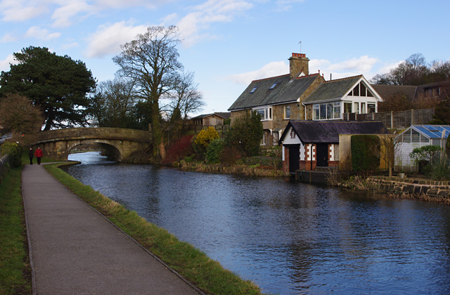
On the eastern side of the reserve you can pick up the towpath of the Lancaster Canal and enjoy a nice waterside stroll along the towpath.
If you'd like to extend the walk you could head west and pick up the Lancashire Coastal Way which will take you along the River Lune towards the picturesque Glasson Dock.


