Fenns, Whixall and Bettisfield Mosses Walks
![]()
![]() This walk explores the Fenns, Whixall and Bettisfield Mosses National Nature Reserve near Whixall in Shropshire and Bettisfield in Wales.
This walk explores the Fenns, Whixall and Bettisfield Mosses National Nature Reserve near Whixall in Shropshire and Bettisfield in Wales.
The reserve includes some pleasant footpaths taking you around the three peat bogs. Other features include lakes, heathland and bluebell woodland.
On the way you can look out for a wide variety of flora and fauna including dragonfly, damselfly and butterflies. Birds include curlew, curlew, teal, shoveller and hen harrier.
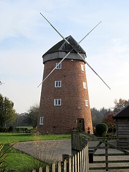
This circular walk starts from the World's End car park at Bettisfield Moss, just east of Bettisfield. From here you can pick up trails heading to the Bettisfield Windmill before heading into Whixall Moss and Fenn's Moss.
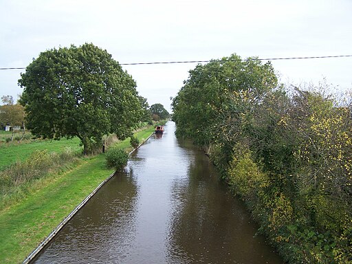
The Llangollen Canal passes along the reserve so you could extend your walk by picking up the towpath. Head south west for a couple of miles and you could visit Colemere Country Park where there's a lovely lake and more birdlife to see.
Postcode
SY13 2PD - Please note: Postcode may be approximate for some rural locationsFenns Whixall and Bettisfield Mosses Ordnance Survey Map  - view and print off detailed OS map
Fenns Whixall and Bettisfield Mosses Open Street Map  - view and print off detailed map
Fenns Whixall and Bettisfield Mosses OS Map  - Mobile GPS OS Map with Location tracking
Fenns Whixall and Bettisfield Mosses Open Street Map  - Mobile GPS Map with Location tracking
Cycle Routes and Walking Routes Nearby
Photos
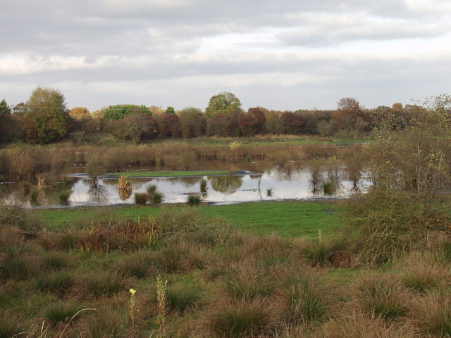
Whixall Moss. Whixall Moss is part of the third largest, and most southerly, raised bog in Britain. A former peat cutting area, being restored to its natural state since 1991, and now recognised as a "Wetland of International Importance". Surprising wilderness area of far horizons and big skies. Lots of wildlife and fascinating human as well as natural history throughout the area.
Heathland on Fenn's Moss. One of the drier areas on Fenn's Moss, with heath vegetation including grasses, heather and scrubby bushes. View from one of the Mosses Trails
Cow and calf grazing Cadney Moss. This moss is over-run with hard rush. Cattle can be used to suppress this wet pasture invader, but there is a danger of intestinal damage if livestock eat too much.
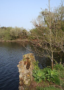
Promontory on mere, near Fenn's Bank. This small promontory on the east bank of the large mere appears to be man made, being partly constructed from railway sleepers. The disused Oswestry, Ellesmere and Whitchurch railway divides this mere from a neighbouring one. The promontory is perhaps used as a fishing pier or as a wildfowl refuge; several small islands lie adjacent


