Fossdyke Canal Trail and Map
![]()
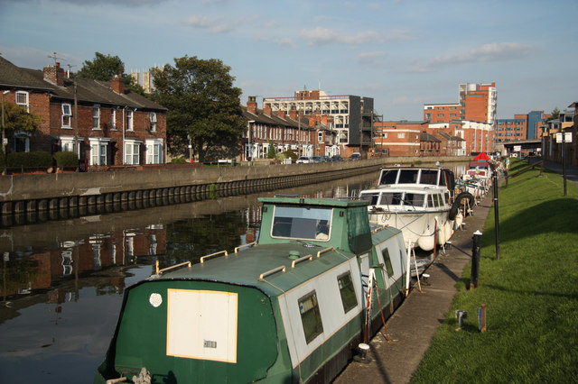
![]() This walk takes you along the Fossdyke Canal from Lincoln to Odder.
This walk takes you along the Fossdyke Canal from Lincoln to Odder.
The route runs for a distance of about 4 miles along a flat waterside path, using a section of National Cycle Network Route 64.
Start the walk at the Brayford Pool Marina in Lincoln city centre. The area is located just a short stroll from the train station. From here you can pick up the shared cycling and walking trail and follow it north west past the University and out into the countryside toward Odder.
About half way along you have the option of branching off to the west on the Harby to Lincoln Cycle Route. This will take you along a dismantled railway line toward Skellingthorpe where you could visit the peaceful woodland trails in Skellingthorpe Woods.
Fossdyke Canal Ordnance Survey Map  - view and print off detailed OS map
Fossdyke Canal Open Street Map  - view and print off detailed map
Fossdyke Canal OS Map  - Mobile GPS OS Map with Location tracking
Fossdyke Canal Open Street Map  - Mobile GPS Map with Location tracking
Further Information and Other Local Ideas
You could continue west along National Cycle Route 647 to visit the impressive Fledborough Viaduct and the lovely Clumber Country Park. There's some fine views over the River Trent valley countryside from the top of the viaduct.
Cycle Routes and Walking Routes Nearby
Photos
Brayford Pool Marina, Lincoln. The floating 'crane' has lifted the staging to allow work to be carried out. Note the sailing vessel across the pool. A replica of the famous sailing ship 'Discovery'.


