Frome Valley Trail
16.2 miles (26 km)
![]()
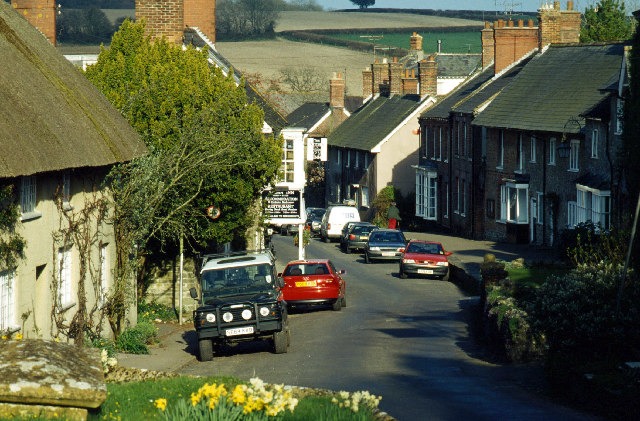
![]() This is a riverside walk along the River Frome from its source at Evershot to Dorchester.
This is a riverside walk along the River Frome from its source at Evershot to Dorchester.
Once complete the walk will extend to the mouth of the Frome at Poole Harbour.
The trail passes through Maiden Newton, Bradford Peveril and Charminster following existing rights of way as close as possible to the Frome.
There is plenty to enjoy for wildlife lovers with Kingfisher, Sandmartin, Otter, Water Vole and damselfly often sighted by the Frome.
Frome Valley Trail Ordnance Survey Map  - view and print off detailed OS map
Frome Valley Trail Open Street Map  - view and print off detailed map
Frome Valley Trail OS Map  - Mobile GPS OS Map with Location tracking
Frome Valley Trail Open Street Map  - Mobile GPS Map with Location tracking
Further Information and Other Local Ideas
At the end of the route you can pick up the Dorchester Circular Walk to extend your outing.
For more walking ideas in the area see the Dorset Walks page.
Cycle Routes and Walking Routes Nearby
Elevation Profile


