GPS Cycle and Walking Routescycle iconwalk icon

Fylingdales Moor

10.6 miles (17 km)

Ordnance Survey Map Open Streetmap This walk explores Fylingdales Moors in the North York Moors.
On the way you'll enjoy climbs to Simon Howe and Two Howes Rigg where there are splendid views over the area. You'll use a section of the popular Lyke Wake Walk which crosses the moor.
You can start the walk from the car park off the A171 next to Stony Marl Moor. From here you can pick up the Lyke Wake Walk and follow it west across Fylingdales Moor. There's lovely views across the heather moorland to the surrounding hills.

Postcode

YO22 4QH - Please note: Postcode may be approximate for some rural locations

Fylingdales Moor OS Map Ordnance survey map - Mobile GPS OS Map with Location tracking

Fylingdales Moor Open Street Map Open Streetmap - Mobile GPS Map with Location tracking

Cycle Routes and Walking Routes Nearby

Photos

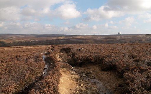
Eroded route of Lyke Wake Walk - geograph.org.uk - 2656084

Eroded route of Lyke Wake Walk

Route of Lyke Wake Walk near Simon Howe - geograph.org.uk - 2656484

Route of Lyke Wake Walk near Simon Howe

Crossing Howl Moor - geograph.org.uk - 1865977

Crossing Howl Moor

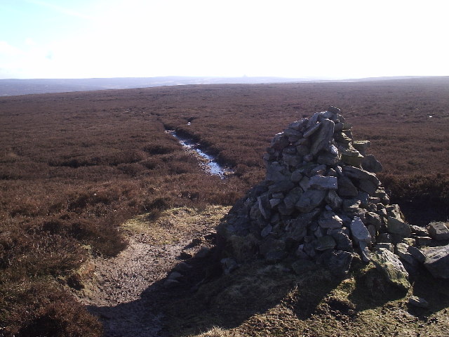
Tumulus on Simon Howe Rigg - geograph.org.uk - 1625572

This photograph depicts a tumulus on Simon Howe Rigg (near the trig point). The picture was taken from the footpath that runs in an east-west direction between the A169 road at Eller Beck Bridge and Wheeldale Lodge. The viewing direction was west-north-west - towards Howl Moor.

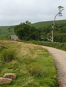
Footpath above Wheeldale Lodge - geograph.org.uk - 1865721

Footpath above Wheeldale Lodge

Towards Wheeldale Lodge - geograph.org.uk - 2624058

Towards Wheeldale Lodge

Two Howes - geograph.org.uk - 125026

Two Howes

Path between Simon Howe and Two Howes Rigg - geograph.org.uk - 2656625

Path between Simon Howe and Two Howes Rigg

GPS Files

GPX File

Fylingdales Moor.gpx (On Desktop:Right Click>Save As. On Ipad/Iphone:Click and hold>Download Linked File)