Grafton Way
![]()
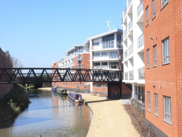
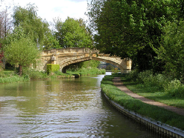
![]() Follow the Grafton Way from Wolverton, Milton Keynes to Greens Norton in Northamptonshire. The walk starts following the Grand Union Canal to Cosgrove before heading into the countryside and passing the villages of Yardley Gobion, Paulerspury and Towcester.
Follow the Grafton Way from Wolverton, Milton Keynes to Greens Norton in Northamptonshire. The walk starts following the Grand Union Canal to Cosgrove before heading into the countryside and passing the villages of Yardley Gobion, Paulerspury and Towcester.
Around Yardley Gobion you could take a detour from the route and visit the worthy village of Stoke Bruerne. The village is centred around the canal and includes the interesting Canal Museum and a series of fine canalside pubs. The museum houses stories, films, collections and displays all about our waterways and is well worth a visit.
Grafton Way Ordnance Survey Map  - view and print off detailed OS map
Grafton Way Open Street Map  - view and print off detailed map
Grafton Way OS Map  - Mobile GPS OS Map with Location tracking
Grafton Way Open Street Map  - Mobile GPS Map with Location tracking
Pubs/Cafes
On the walk stop for refreshments at the noteworthy Barley Mow in Cosgrove. Housed in a lovely 17th Century building the pub boasts a large beer garden to relax in during the summer months.
Cycle Routes and Walking Routes Nearby
Elevation Profile


