Great Budworth Walks
![]()
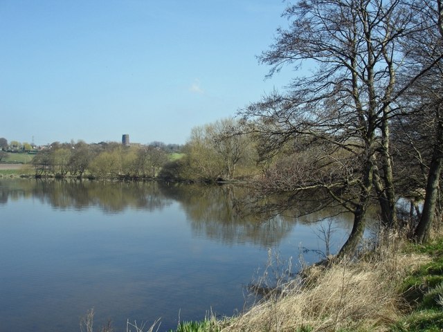
![]() This attractive and historic Cheshire village includes a fine 15th century church and an early 18th century pub. In 2019 it was also the setting for the latest BBC adaptaion of the classic 'War of the Worlds'. It's a great place for walkers with a lakes, a canal, a country park and some lovely countryside to explore.
This attractive and historic Cheshire village includes a fine 15th century church and an early 18th century pub. In 2019 it was also the setting for the latest BBC adaptaion of the classic 'War of the Worlds'. It's a great place for walkers with a lakes, a canal, a country park and some lovely countryside to explore.
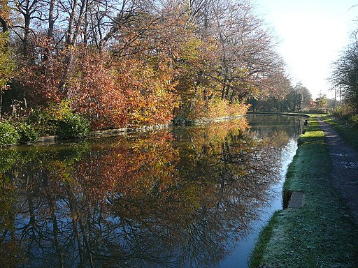
This walk from the village visits some of the highlights of the area including Budworth Mere, Marbury Country Park and the splendid Anderton Boat Lift on the Trent and Mersey Canal.
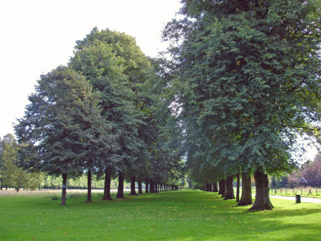
It's a varied walk with woodland, parkland and waterside paths to enjoy. The route makes use of the North Cheshire Way, a waymarked footpath which you can pick up in the village.
For more detail on the history, notable landmarks and local flora and fauna see the informative wikipedia entry
Postcode
CW9 6HF - Please note: Postcode may be approximate for some rural locationsGreat Budworth Ordnance Survey Map  - view and print off detailed OS map
Great Budworth Open Street Map  - view and print off detailed map
Great Budworth OS Map  - Mobile GPS OS Map with Location tracking
Great Budworth Open Street Map  - Mobile GPS Map with Location tracking
Walks near Great Budworth
- Budworth Mere - This walk takes you along the boardwalk at Budworth Mere in Marbury Country Park
- Marbury Country Park - This splendid country park is in a beautiful location in Northwich, Cheshire
- Anderton Boat Lift - This photogenic Cheshire based site is one of the highlights of the UK's waterways
- Pickmere Lake - This pretty lake is located just north of Northwich in the Cheshire village of Pickmere.
- Trent and Mersey Canal - Follow the Trent and Mersey Canal through Derbyshire, Staffordshire and Cheshire on this long distance waterside walk
- North Cheshire Way - Starting at Hooton Station, near Ellesmere Port, follow the North Cheshire Way through Frodsham, Northwich, Knutsford and Wilmslow to the finish point at Disley
- Arley Hall - This walk visits Arley Hall and Gardens in the Cheshire based village of Arley
- Northwich - A lovely circular walk around Northwich, taking in the River Weaver, the Trent and Mersey Canal and several parks including the splendid Marbury Country Park
Pubs/Cafes
The George and Dragon dates back to 1722 and is a worthy place to enjoy some post walk refreshment. They serve high quality food with particularly fine fish dishes to enjoy. You can find them on the High Street at postcode CW9 6HF for your sat navs.
Dog Walking
The woodland and parkland trails on the route are ideal for dog walking. The George mentioned above is also dog friendly.
Further Information and Other Local Ideas
Just east of the village you can enjoy more waterside walking along Pickmere Lake.
For more walking ideas in the area see the Cheshire Walks page.
Photos
Woodland and meadow near Budworth Mere Great Budworth - view from the North Cheshire Way towards woods near Budworth Mere (out of sight beyond the woods).
George and Dragon, Great Budworth. The inn is a Grade II listed building. In 1875, John Douglas was commissioned to restore it by Egerton-Warburton. He added tall rubbed chimneys, mullioned windows and a steep pyramidal turret.
Anderton Lift. This lift transfers boats from the lower River Weaver up to the Trent and Mersey Canal. The two caissons today are supported by hydraulic rams rather than the previous ropes and pulleys on the earlier structure. This picture shows the far caisson raised where the hydraulic ram is difficult to discern from the "A" frame supports. One of the many interesting facts related by the tour guide was that Messieur Citroen developed the distinct chevron gearing, the shape of which later became the symbol of cars bearing his name. It was a triumph of Victorian engineering when first constructed.


