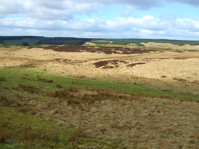
Greenlee Lough
![]()
![]() This walk visits the pretty Greenlee Lough Nature Reserve from Hadrian's Wall. The reserve is one of the most significant wetland sites in the UK. It includes a variety of habitats including woodland, bog and grassland. The reserve can be reached by following footpaths from Housesteads on Hadrian's Wall. It's about a 3.5 mile walk from the wall with some moderate climbs along the way.
This walk visits the pretty Greenlee Lough Nature Reserve from Hadrian's Wall. The reserve is one of the most significant wetland sites in the UK. It includes a variety of habitats including woodland, bog and grassland. The reserve can be reached by following footpaths from Housesteads on Hadrian's Wall. It's about a 3.5 mile walk from the wall with some moderate climbs along the way.
You can start the walk from the Housesteads car park and then head north through the fascinating Roman Fort. You then pick up a section of the Pennine Way to take you towards the lake. A footpath then heads west to take you down towards the water. Here you'll find a bird hide where you can look out for a variety of wildlife including wildfowl and waders. There's also lots of interesting plants to see such as 11 species of pondweed and stonewort.
You can continue your walking in the area by picking up the Hadrian's Wall Path and visiting the nearby Crag Lough. Near here you will also find the iconic Sycamore Gap. The famous tree was voted England's tree of the year in 2016.
Greenlee Lough Ordnance Survey Map  - view and print off detailed OS map
Greenlee Lough Open Street Map  - view and print off detailed map
Greenlee Lough OS Map  - Mobile GPS OS Map with Location tracking
Greenlee Lough Open Street Map  - Mobile GPS Map with Location tracking
Pubs/Cafes
Head south from the lake and you can visit The Twice Brewed Inn near Sycamore Gap. Here you can enjoy home-cooked meals in a comfy, cosy restaurant with a roaring fire. There's car parking, cycle storage and a nice beer garden for warmer weather too. They also offer tours of their brew house in an area with a brewing tradition dating back nearly 2,000 years. If you need to stay over they have several rooms with fine views over the area. You can find the pub near the Gap at a postcode of NE47 7AN.


