Habberley Valley Circular Walk
![]()
![]() This pleasant circular walk takes you around the Habberley Valley nature reserve in Kidderminster.
This pleasant circular walk takes you around the Habberley Valley nature reserve in Kidderminster.
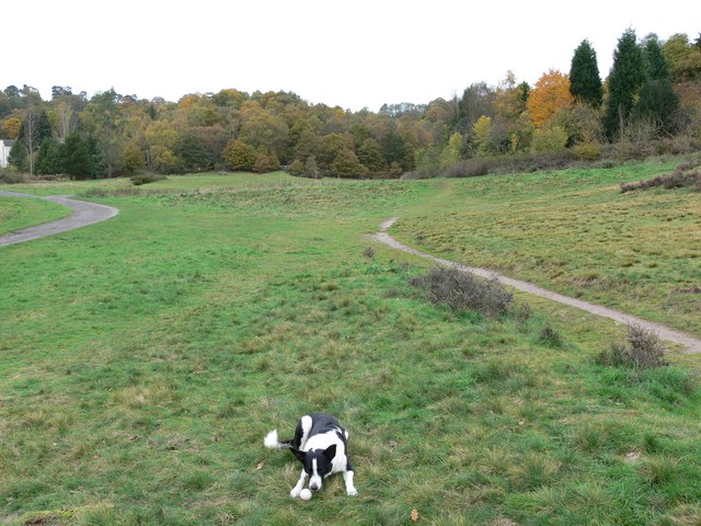
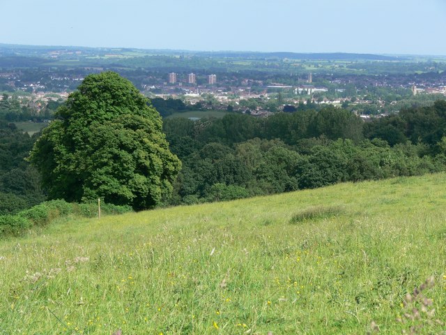
There's nice trails here taking you to woodland, grassland and heathland with lots of wildlife to look out for on the way. Keep your eyes peeled for woodpeckers, buzzards, owls and sparrowhawks as you make your way along the paths. The trails are well signed and take place on well maintained footpaths. It's mostly fairly flat but there are some moderate climbs on the way.
You can start the walk at Low Habberley where there is a car park and visitor centre on the Habberley Rd at postcode DY11 5RH for your sat navs. It's located just to the north west of Kidderminster town centre. From here pick up the trails heading north west towards Trimpley. You then head east to Easthams Farm before turning south to return to Low Habberley and the car park.
Postcode
DY11 5RH - Please note: Postcode may be approximate for some rural locationsHabberley Valley Circular Walk Ordnance Survey Map  - view and print off detailed OS map
Habberley Valley Circular Walk Open Street Map  - view and print off detailed map
Habberley Valley Circular Walk OS Map  - Mobile GPS OS Map with Location tracking
Habberley Valley Circular Walk Open Street Map  - Mobile GPS Map with Location tracking
Pubs/Cafes
There's an on site cafe at the nature reserve visitor centre where you can enjoy refreshments after your walk.
Dog Walking
The woodland and parkland trails are ideal for dog walking so you'll probably see other owners on a fine day.
Further Information and Other Local Ideas
Head into Kidderminster and you can enjoy an easy waterside walk along the towpath of the Staffordshire and Worcestershire Canal. If you were to follow it north it would take you to the popular Kinver Edge where there are some splendid views. The expansive Wyre Forest is also nearby with miles of cycling and walking trails and the Button Oak Meadow Nature Reserve to explore.
For more walking ideas in the county see the Staffordshire Walks page.
Cycle Routes and Walking Routes Nearby
Photos
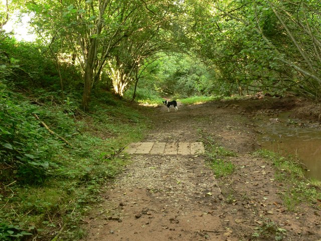
A dog in Easthams Coppice. At this point the trail passes through Easthams Coppice following the course of Honey Brook.


