Hail Storm Hill and Scout Moor Wind Farm Walk
![]()
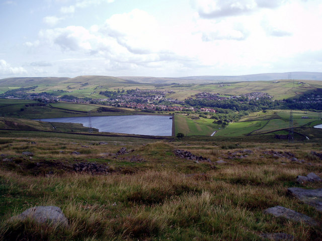
![]() This circular walk in the Rossendale Valley climbs to Hail Storm Hill and the Scout Moor Wind Farm. The route uses sections of the Pennine Bridleway and Rossendale Way to visit the hill and the nearby Spring Mill Reservoir.
This circular walk in the Rossendale Valley climbs to Hail Storm Hill and the Scout Moor Wind Farm. The route uses sections of the Pennine Bridleway and Rossendale Way to visit the hill and the nearby Spring Mill Reservoir.
The spot is significant as the highest point of the Rossendale Valley and the location of the Scout Moor Wind Farm, the second largest onshore wind farm in England.
There's some remote moorland scenery with excellent views towards Lancashire and Manchester from the high points.
You can start the walk from the public car park in Broadley next to the Healey Dell Nature Reserve. The reserve is another nice place for a stroll with woodland trails and lots of wildlife to see.
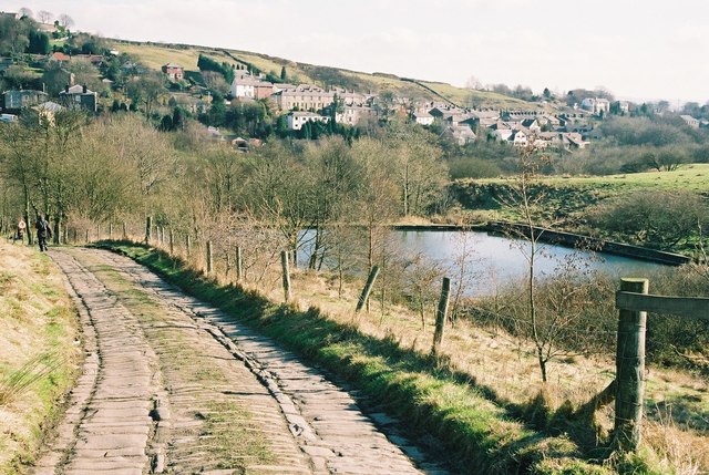
From the car park you head north west to Whimsy Hill where you can pick up the Pennine Bridleway. Follow the shared cycling and walking trail north west to Bagden Hillocks and Rooley Moor. Here you will pass the old Ding Quarry before coming to Hail Storm Hill and the wind farm.
From the summit continue north to Cowpe Moss before turning east to Top of Leach where you pick up the bridleway again. This will take you to Hamer Hill and Bagden Hillocks where you can pick up the Rossendale Way. Follow it south east to Spring Mill Reservoir before looping round to return to the car park.
Hail Storm Hill Ordnance Survey Map  - view and print off detailed OS map
Hail Storm Hill Open Street Map  - view and print off detailed map
Hail Storm Hill OS Map  - Mobile GPS OS Map with Location tracking
Hail Storm Hill Open Street Map  - Mobile GPS Map with Location tracking
Further Information and Other Local Ideas
Just to the west of the hill you could visit Waugh's Well. The structure was created to commemorate local poet Edwin Waugh who is known locally as "the Lancashire Burns". There is also a small reservoir and more excellent views from this interesting spot.


