Hareshaw Linn
![]()
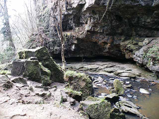
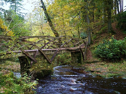
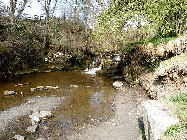
![]() This walk takes you to the beautiful Hareshaw Linn waterfall in the Northumberland National Park. The walk begins in the village of Bellingham and follows footpaths through ancient woodland and over six bridges to the 9 metre high waterfall. On the way you will pass a series of smaller waterfalls on the pretty Hareshaw Burn. Look out for wildlife including red squirrels, great spotted woodpeckers, wood warblers, badgers and bats on the way.
This walk takes you to the beautiful Hareshaw Linn waterfall in the Northumberland National Park. The walk begins in the village of Bellingham and follows footpaths through ancient woodland and over six bridges to the 9 metre high waterfall. On the way you will pass a series of smaller waterfalls on the pretty Hareshaw Burn. Look out for wildlife including red squirrels, great spotted woodpeckers, wood warblers, badgers and bats on the way.
The Pennine Way runs past the falls so you could pick this up to continue your walking in the area.
Postcode
NE48 2DA - Please note: Postcode may be approximate for some rural locationsHareshaw Linn Ordnance Survey Map  - view and print off detailed OS map
Hareshaw Linn Open Street Map  - view and print off detailed map
Hareshaw Linn OS Map  - Mobile GPS OS Map with Location tracking
Hareshaw Linn Open Street Map  - Mobile GPS Map with Location tracking
Explore the Area with Google Street View 
Pubs/Cafes
The Carriages Tea Room at Bellingham Station is an interesting place to visit. You can enjoy a range of light lunches, freshly baked scones and homemade cakes on-board the old 1957 Mark 1 Carriages. The restored Carriage's still contain the original seats and many of the original fixtures and fittings from when the train was last used for public service. They do a very good afternoon tea for a reasonable price. You can find the cafe at Station Yard, Woodburn Road, Bellingham with a postcodfe of NE48 2DG for your sat navs.
The Cheviot Hotel is another good option in the village. The hotel contains a decent bar with a good menu and a nice outdoor seating area. You can find it on Main Street at a postcode of NE48 2AU.
Dog Walking
The gorge is a fine place for a dog walk and you'll probably see plenty of other owners during the more popular months of the year. The Cheviot hotel mentioned above is also dog friendly.
Further Information and Other Local Ideas
The Heritage Centre Bellingham is another worthy attraction in the area. The centre tells the stories of the people of the North Tyne and Rede valleys through text, imagery, and objects. The displays present the social, agricultural and industrial history of the area as well as a small section about the earlier Border Reivers. It's a great place to visit particularly for railway and photgraphy buffs. It also includes the Carriages tea rooms mentioned above.
Cycle Routes and Walking Routes Nearby
Photos
Hareshaw Linn. A spectacular waterfall at the head of a popular walk out of Bellingham. Below the falls is a deep plunge pool.
Steps leading back from the plunge pool of Hareshaw Linn to the head of the footpath back to Bellingham.
Information board at the site. This displays some of the flora and fauna you can see on your walk. Bluebells, Wood Anenome, Primroses and the popular red squirrels can be seen here.
Elevation Profile


