Hawthorn Dene
![]()
![]() This delightful nature reserve near Easington has nice footpaths to follow. The paths will take you through attractive woodland and along the pretty Hawthorn Burn. The reserve is located just to the south of Seaham. You could follow the Durham Coastal Footpath to reach the site. Alternatively there is a car park just to the north of the reserve. From here you can pick up the footpaths east through the reserve to the coast. You'll pass the railway viaduct before coming to Hawthorn Hive, with cliffs and rocky shore. Look out for a variety of flora and fauna including snowdrops, wild garlic and bluebells in the spring. Notable wildlife includes jay, treecreeper, great spotted woodpecker and roe deer.
This delightful nature reserve near Easington has nice footpaths to follow. The paths will take you through attractive woodland and along the pretty Hawthorn Burn. The reserve is located just to the south of Seaham. You could follow the Durham Coastal Footpath to reach the site. Alternatively there is a car park just to the north of the reserve. From here you can pick up the footpaths east through the reserve to the coast. You'll pass the railway viaduct before coming to Hawthorn Hive, with cliffs and rocky shore. Look out for a variety of flora and fauna including snowdrops, wild garlic and bluebells in the spring. Notable wildlife includes jay, treecreeper, great spotted woodpecker and roe deer.
If you would like to extend your walk you could follow the coast path south and visit the lovely Castle Eden Dene. Here you will find miles of woodland trails, pretty streams, rushing waterfalls and an abundance of wildlife in this splendid nature reserve in Peterlee.
Postcode
SR7 8SH - Please note: Postcode may be approximate for some rural locationsHawthorn Dene Ordnance Survey Map  - view and print off detailed OS map
Hawthorn Dene Open Street Map  - view and print off detailed map
Hawthorn Dene OS Map  - Mobile GPS OS Map with Location tracking
Hawthorn Dene Open Street Map  - Mobile GPS Map with Location tracking
Further Information and Other Local Ideas
Head a few miles west and there's Hetton Lyons Country Park to explore. There's a fine lakeside cycling and walking trail here with good facilities including watersports and a cafe.
Cycle Routes and Walking Routes Nearby
Photos
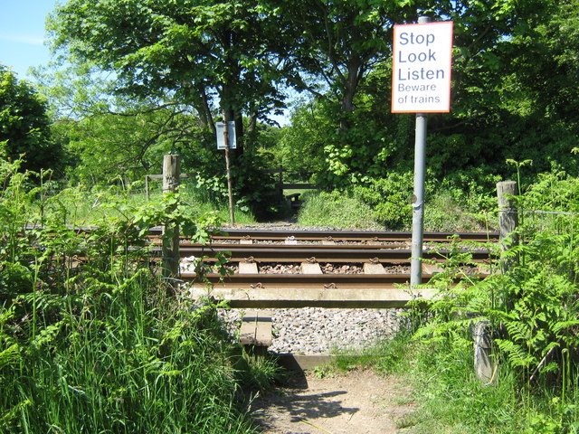
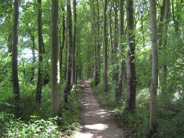
Footpath at the reserve. From the cliff top at Hawthorn Hive crossing the East Coast Railway and into Hawthorn Dene, County Durham.
Hawthorn Quarry. Eastern entrance to this large quarry - magnesium limestone being the material that is scraped out of the ground. The quarry lies on the northern side of the reserve.


