Hayes Common
![]()
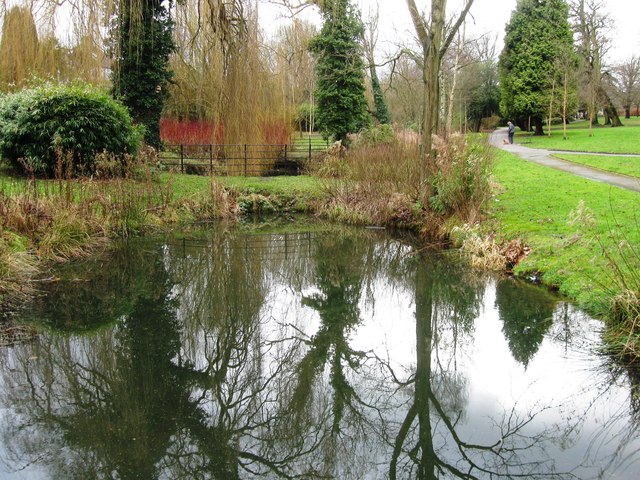
![]() This area of common land in Bromley covers 91.1 hectares (225 acres) and includes a number of public footpaths and bridleways.
This area of common land in Bromley covers 91.1 hectares (225 acres) and includes a number of public footpaths and bridleways.
You can start the walk from Hayes train station which is located a short stroll from the common. There's a waymarked circular walk to follow across the site which includes some attractive woodland and heather moorland. There's also a public car park at the south eastern corner, near Keston, if you are driving.
The London Loop long distance footpath passes the common so you could pick this up to extend your walk. Head south east and you will soon come to Keston Common where there are some more nice trails and three pretty lakes. Around here you can also enjoy refreshments at the commonside Fox Inn (postcode: BR2 6BQ). There's a nice large beer garden to relax in during the summer months.
High Elms Country Park is a little further east along the London Loop trail but still within walking distance of the common. Here you'll find woodlands, a nature centre, ice well, formal gardens and wildflower meadows in a 250 acre space. If you head west along the trail you'll soon come to Addington Hills where there's a nice viewpoint to climb to. The Cudham Circular Walk can also be picked up in this area too.
Postcode
BR2 7AU - Please note: Postcode may be approximate for some rural locationsHayes Common Ordnance Survey Map  - view and print off detailed OS map
Hayes Common Open Street Map  - view and print off detailed map
Hayes Common OS Map  - Mobile GPS OS Map with Location tracking
Hayes Common Open Street Map  - Mobile GPS Map with Location tracking
Dog Walking
The common is a great place for dog walking and you will probably see several other owners with their pets on your visit.
Further Information and Other Local Ideas
Just to the north of the common there's the Hayes Recreation Gardens where there's some pleasant footpaths around pretty gardens and a pond.
The common has been the venue for the crowning of the London May Queen for over 100 years.
The Nash Circular Walk skirts the southern edge of the common. It starts in the nearby hamlet of Nash and follows trails to Hayes Common and then on to Keston Common.
For more walking ideas in the area see the London Walks page.
Cycle Routes and Walking Routes Nearby
Photos
Keston: lawn on Hayes Common. A drinking fountain punctuates this lawn at the southern end of Hayes Common, alongside Keston village.
Prestons Road, Hayes Common BR2. This photograph taken looking southwest, near the busy A232 Croydon Road.


