Hexham to Corbridge Walk
![]()
![]() A lovely walk from Hexham to Corbridge with some nice woodland trails and a riverside section in Corbridge. The walk also visits the interesting Coria Roman site in Corbridge at the end of the route.
A lovely walk from Hexham to Corbridge with some nice woodland trails and a riverside section in Corbridge. The walk also visits the interesting Coria Roman site in Corbridge at the end of the route.
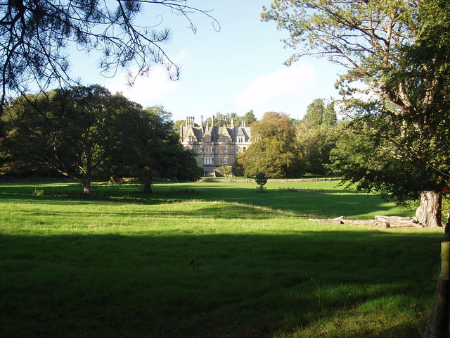
Starting in the Hexham town centre the walk heads south east into Dukeshouse Wood. Follow the woodland trails east past Duke's House towards Dilston where you will pass Dilston Castle, a ruined 15th-century tower house.
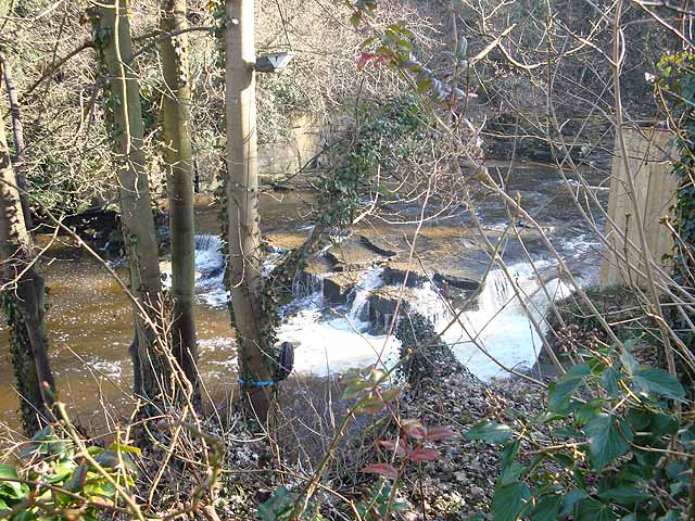
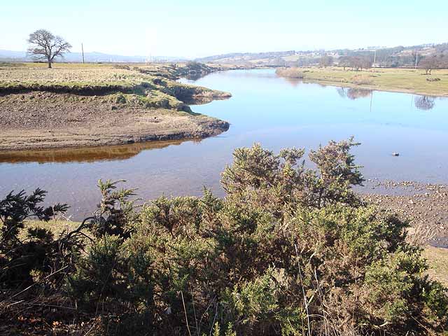
At Dilston you pick up a trail along Devil's Water where there are a series of waterfalls. You follow the river north to the point where it meets the River Tyne and then turn east to Corbridge Bridge. The 17th-century stone bridge will take you across the river into Corbridge. Turn left and you can follow another riverside path to the Corbridge Roman Site. It's a fascinating site with information boards detailing the Roman occupation which ran until the 5th century. You can also discover Roman armour and trinkets uncovered with the Corbridge Hoard at the museum. The Hoard was one of the most significant finds in Roman history, providing a fascinating insight into the life of a soldier on the Hadrian's Wall.
To continue your walking in the area you could try our Hexham Walk which follows the Weardale Way up to Hadrian's Wall Path. Here you can pay a visit to Chester's Roman Fort.
Just to the north of Corbridge you can visit Aydon Castle where you'll find a 13th century manor house and walks along the Cor Burn and the walled orchard.
If you continue south east along the river you will come to Riding Mill.
Hexham to Corbridge Ordnance Survey Map  - view and print off detailed OS map
Hexham to Corbridge Open Street Map  - view and print off detailed map
Hexham to Corbridge OS Map  - Mobile GPS OS Map with Location tracking
Hexham to Corbridge Open Street Map  - Mobile GPS Map with Location tracking
Pubs/Cafes
There's some good post walk refreshments in the pretty village of Corbridge at the end of the route. The historic Black Bull dates back to 1755 and includes a cosy interior with a coal fire. Outside there's a pretty garden area for warmer days. They do very good food and can be found at Middle Street with a postcode of NE45 5AT for your sat navs.
The Dyvels Inn is another good option if the weather is good. They have a larger garden area and also provide accommodation. You can find them on Station Road at postcode NE45 5AY.
Dog Walking
The country and river trails make for a fine dog walk and The Dyvels Inn mentioned above is also dogf friendly.


