Highgate Common
![]()
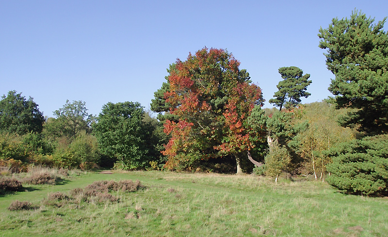
![]() This walk follows the numerous trails on Highate Common - a designated country park and local nature reserve near Wolverhampton. Here you will find 320 acres of lowland heath covered with heather, broom and gorse. There are also areas of woodland, with silver birch, pendunculate oak and coniferous plantation. Also look out for a variety of wildlife including lizards, Slow Worms, Grass Snakes, Rabbits, Bush-crickets, moths, beetles, flies, and Dragonflies.
This walk follows the numerous trails on Highate Common - a designated country park and local nature reserve near Wolverhampton. Here you will find 320 acres of lowland heath covered with heather, broom and gorse. There are also areas of woodland, with silver birch, pendunculate oak and coniferous plantation. Also look out for a variety of wildlife including lizards, Slow Worms, Grass Snakes, Rabbits, Bush-crickets, moths, beetles, flies, and Dragonflies.
If you would like to continue your walk then the Staffordshire Way is a good option as it runs right through the park. The park is located a few miles south west of the city of Wolverhampton.
Postcode
DY7 5JD - Please note: Postcode may be approximate for some rural locationsPlease click here for more information
Highgate Common Ordnance Survey Map  - view and print off detailed OS map
Highgate Common Open Street Map  - view and print off detailed map
Highgate Common OS Map  - Mobile GPS OS Map with Location tracking
Highgate Common Open Street Map  - Mobile GPS Map with Location tracking
Pubs/Cafes
Head a mile east to Greensforge and you'll find the Navigation Inn. It's in a lovely spot right next to the Staffordshire and Worcestershire Canal. Here you can enjoy a meal and watch the canal boats navigating the adjacent lock. You can find the pub at Greensforge Lane with a postcode of DY6 0AH for your sat navs.
Dog Walking
The heathland and woodland on the common are very popular with dog walkers. The Navigation Inn pub mentioned above is also dog friendly.
Further Information and Other Local Ideas
To the east you can pick up the towpath of the Staffordshire and Worcestershire Canal on the Kinver Canal Walk. It will take you north along the canal to link with the circular Wombourne Railway Walk.
For more walking ideas in the county see the Staffordshire Walks page.
Cycle Routes and Walking Routes Nearby
Photos
The Road to Highgate Common. Just "creeping" onto the square, the road bends round towards Camp Farm, through pastureland and patches of mixed woodland, dominated by birch trees.
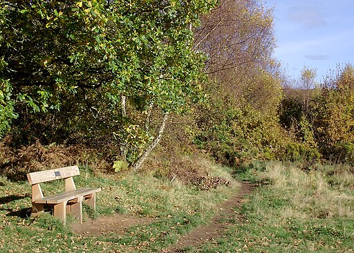
Woodland and autumn colours. The ground is particularly hospitable to rabbits, which have excavated large warrens.


