Hinckley Walks
![]()
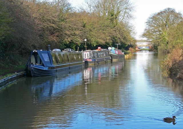
![]() This historic market town is located in southwest Leicestershire close to Nuneaton. There's nice walks in the town in Hollycroft Park and along the Ashby Canal which runs just to the west.
This historic market town is located in southwest Leicestershire close to Nuneaton. There's nice walks in the town in Hollycroft Park and along the Ashby Canal which runs just to the west.
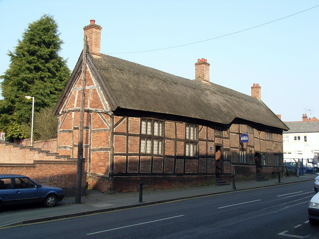
In the town historical landmarks include the interesting Hinckley Museum which is housed in a range of 17th-century timber-framed framework knitters' cottages. In the 19th century the town was responsible for a large proportion of Britain's hosiery production. Also of interest is a fine medieval church dating from the 13th century. It is a Grade II* listed building and includes a coffee bar in the North tower.
This route uses part of the Ashby Canal and the waymarked Nuneaton Circular Walk to create a circular walk to the west of the town.
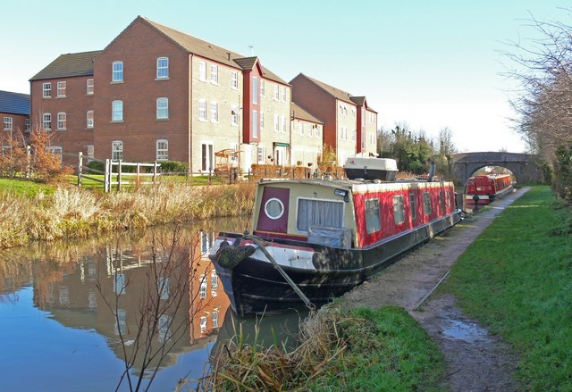
Start the walk on the canal, just to the west of the town centre and the train station. You then follow the towpath south to the village of Burton Hastings and then on to Bramcote Wharf and Marston Junction. This is the point where the Ashby Canal meets with the Coventry Canal. Here the route leaves the canal to pick up the Nuneaton Rotary Circular Walk and follow the trail north through Whitestone to the countryside to the east of the town. Here you pick up Hydes Lane and follow it north east back to the canal in Hinckley.
Hinckley Ordnance Survey Map  - view and print off detailed OS map
Hinckley Open Street Map  - view and print off detailed map
Hinckley OS Map  - Mobile GPS OS Map with Location tracking
Hinckley Open Street Map  - Mobile GPS Map with Location tracking
Walks near Hinckley
- Nuneaton Rotary Walk - This super circular walk was devised by the Nuneaton Rotary Club and takes you on a tour of the countryside, parks and canals around Nuneaton
- Burbage Common - Explore 200 acres of semi-natural woodland, wildflower meadows and unspoilt grassland in this country park in Hinckley
- Leicestershire Round - Explore the countryside, villages, canals, rivers and reservoirs of Leicestershire on this interesting and varied circular walk
- Coventry Canal - Enjoy waterside cycling and walking along the 38 mile long Coventry Canal towpath
- Croft Hill and Quarry Walk - This walk visits the Croft Hill viewpoint and the old Croft Quarry near Leicester
- Market Bosworth Country Park - This 85 acre country park in Leicestershire contains a lake, a planted arboretum with exotic species, a wildflower meadow and a community woodland
- Bosworth Battlefield Country Park - Walk the Battlefield Trail with panoramic views over the Leicestershire countryside in this country park in Market Bosworth
- Sutton Cheney - This circular walk from Sutton Cheney Wharf takes you along the Ashby Canal and through the surrounding woodland and countryside
- Ullesthorpe Railway Walk - This circular walk takes you along the trackbed of the old railway line from Ullesthorpe to Leire in southern Leicestershire.
- Stoney Cove - This walk visits the pretty Stoney Cove in the village of Stoney Stanton, Leicestershire.
Pubs/Cafes
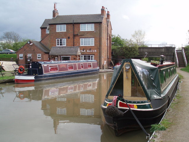
The Lime Kilns is located on the canal close to the start of the walk. You can sit outside in the garden area and watch the boats go by with your meal. They have a fine selection of home made pies and real ales to enjoy. You can find them on Watling Street with a postcode of LE10 3ED for your sat navs.
Dog Walking
The canal and country trails make for a nice walk with your pet and the Lime Kilns pub mentioned above is also dog friendly.
Further Information and Other Local Ideas
To continue your walking around Hinckley head east of the town and you will soon come to Burbage Common. There some peaceful woodland trails here with lots of woodland birds to look out for. You can also pick up the long distance Leicestershire Round here.
Head north and you will find Bosworth Battlefield Country Park. There are a series of good trails here and the Bosworth Battlefield Heritage Centre which tells the dramatic story of the Battle of Bosworth of 1485.
For more walking ideas in the area see the Leicestershire Walks page.


