Hodsock Priory
![]()
![]() This circular walk takes you around Hodsock Priory in the Nottinghamshire village of Hodsock.
This circular walk takes you around Hodsock Priory in the Nottinghamshire village of Hodsock.
The priory is open to the public during Feburary when you can enjoy a walk around the gardens and woods. At this time of year there are carpets of lovely snowdrops to see.
All year round you can follow the public footpaths that surround the estate. From the trails there are fine views over the 800-acre (3.2 km2) Hodsock Estate and the surrounding Nottinghamshire countryside.
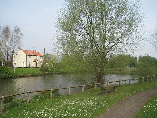
This circular walk begins from the village of Carlton in Lindrick which lies just to the west of the estate. From here you can pick up a mixture of bridleways and footpaths heading around the estate for a distance of just over 3 miles. On the way you will also pass North Carlton where there is a pretty pond.
The area is great for wildlife with various waterfowl attracted to Hodsock's lake. Look out for oystercatchers, great crested grebes and common shelducks in this area. Other birds you may see include little owls, common kingfishers, common kestrels, green woodpeckers, hobbies, robins, Eurasian wrens and long-tailed tits.
To extend the walk head a couple of miles north west to visit Langold Lake Country Park. There's lovely waterside paths around the park's two lakes and a nature reserve with lots of wildlife to see.
Postcode
S81 0TY - Please note: Postcode may be approximate for some rural locationsPlease click here for more information
Hodsock Priory Ordnance Survey Map  - view and print off detailed OS map
Hodsock Priory Open Street Map  - view and print off detailed map
Hodsock Priory OS Map  - Mobile GPS OS Map with Location tracking
Hodsock Priory Open Street Map  - Mobile GPS Map with Location tracking
Pubs/Cafes
The Blue Bell pub is located in Cartlon in Lindrick at the start/end of the route. It's a fine country pub serving good quality dishes and real ale. They have a nice garden area too. You can find them at postcode S81 9DT.
Further Information and Other Local Ideas
In Carlton in Lindrick you could pay a visit to the historic St John the Evangelist's Church. The Saxon church dates to the 11th century and is a Grade I listed building. It is the most important surviving Saxon or Saxon-Norman building in Nottinghamshire. You can find the church at The Old Rectory, Church Ln, S81 9EG.
Cycle Routes and Walking Routes Nearby
Photos
Hodsock Priory over a bank of Snowdrops. Hodsock Priory and gardens is at the centre of the 800-acre (3.2 km2) Hodsock Estate, owned by the Buchanan family since 1765. The farm is 700 acres (2.8 km2) and grows carrots, wheat, barley and sugar beet. There is 100 acres (0.40 km2) of managed woodland.
Hodsock Priory. The gardens at Hodsock were developed in the first half of the 20th century under the guidance of head gardener, Arthur Ford. Ford regularly wrote articles for gardening magazines, and was reputedly head-hunted by Kew Gardens. During the Second World War, the flower gardens were turned over to vegetables grown by the Women's Land Army, who were accommodated in the house


