Holme Fell Walk
![]()
![]() This lovely Lakeland walk takes in Tarn Hows, Tom Ghyll waterfall and Yew Tree tarn before climbing to the summit of Holme Fell.
This lovely Lakeland walk takes in Tarn Hows, Tom Ghyll waterfall and Yew Tree tarn before climbing to the summit of Holme Fell.
It's a 2 mile hike from the tarns, with an easy section to start before a moderately challenging climb to the 317m summit of the fell.
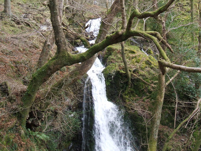
The walk starts from the Tarn Hows car park and heads past the southern end of the tarns. You head west through the woodland trails of the Lane End Coppice, passing the pretty Tom Ghyll waterfall.
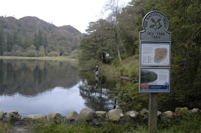
The route then turns north to Yew Tree Tarn, where you can enjoy a waterside path along the western side of the small lake.
The route then begins the ascent of Holme Fell, heading north west through Harry Guards Wood to Uskdale Gap. From here it is a short climb to the summit where there are views of almost the full length of Coniston Water.
This route then descends back to the car park but you could head north a short distance to visit a couple of picturesque tarns. The intriguing Hodge Close Quarry is also near, located just to the west of the summit.
To extend your walking in the area you can try the climb to Black Crag which also starts from the Tarn Hows car park. It's a similar climb which takes place on the opposite side of the water and commands great views over the Langdale Fells.


