Ilfracombe to Combe Martin Coastal Walk
![]()
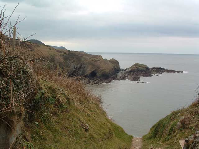
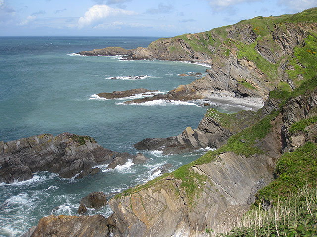
![]() A popular coastal walk between these two North Devon settlements, using a section of the South West Coast Path. The route runs for a distance of about 5 miles so it's perfect for an afternoon walk. It's undulating path with some moderate climbs but with great views all the way from the elevated position of the cliff top path.
A popular coastal walk between these two North Devon settlements, using a section of the South West Coast Path. The route runs for a distance of about 5 miles so it's perfect for an afternoon walk. It's undulating path with some moderate climbs but with great views all the way from the elevated position of the cliff top path.
The walk starts on the front in Ilfracombe and heads east past Capstone Point where there is a bench and a telescope to enjoy the view. You continue to Beacon Point which marks the northern side of Hillsborough Down and has nice views over Hele Bay. You continue past Samson's Bay and Widmouth Head before passing a series of caves on the outskirts of Combe Martin. The final section passes another fine viewpoint at Lester Point before coming into Combe Martin itself.
To continue your walking in the area head east and visit The Hangman Hills where you can climb to the highest point on the South West Coast Path at Great Hangman. You could also explore the Heddon Valley with the climb giving great views back down to Combe Martin.
Ilfracombe to Combe Martin Ordnance Survey Map  - view and print off detailed OS map
Ilfracombe to Combe Martin Open Street Map  - view and print off detailed map
*New* - Walks and Cycle Routes Near Me Map - Waymarked Routes and Mountain Bike Trails>>
Ilfracombe to Combe Martin OS Map  - Mobile GPS OS Map with Location tracking
Ilfracombe to Combe Martin Open Street Map  - Mobile GPS Map with Location tracking
Further Information and Other Local Ideas
The circular Ilfracombe to Lee Bay Walk heads west along the coast to Lee Bay before using the old Ilfracombe to Ossaborough Railway Path to return to Ilfracombe. It also visits the woodland trails in the Borough Valley between Lee and Ossaborough.
From Ilfracombe you can catch a boat to the beautiful Lundy Island. The island is owned by the National Trust and has some splendid coastal walking trails. It's also a nature reserve with lots of wildlife to see, including the famous Lundy puffins.
For more walking ideas in the area see the Exmoor Walks and North Devon Coast Walks pages.
Cycle Routes and Walking Routes Nearby
Photos
Beacon Point Ilfracombe, from Capstone Beacon Point, just east of Ilfracombe, showing the rugged coastline of North Devon. The view is taken from near the top of Capstone Hill
Beacon Point. Beacon Point marks the northern side of Hillsborough Down where it juts out into the sea and can be seen in the midground of this photograph which was taken from the eastern side of Hele Bay looking over Beacon Point to Ilfracombe, which can be seen in the distance.
View from Haggington Point, coastline towards Rillage Point. Limestone bands, containing fossils, including corals, fish fragments and marine invertebrates are especially prominent at Rillage.
Telescope at Combe Martin. Looking towards Lester Cliff, with the telescope pointing towards Combe Martin Bay.


