Ilkley Riverside Walk to Addingham and Bolton Abbey
![]()
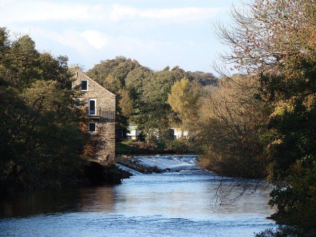
![]() This walk follows the Dales Way and the River Wharfe from Ilkley to Addingham and Bolton Abbey. The route runs along a lovely section of the river with great views of the surrounding Yorkshire Dales countryside to enjoy on the way. It's about a 6 mile walk on fairly flat, waymarked footpaths.
This walk follows the Dales Way and the River Wharfe from Ilkley to Addingham and Bolton Abbey. The route runs along a lovely section of the river with great views of the surrounding Yorkshire Dales countryside to enjoy on the way. It's about a 6 mile walk on fairly flat, waymarked footpaths.
The walk starts in the pretty Riverside Gardens on the south bank of the river. Here you will also find Ilkley Roman Fort where you can see the remains of the outer walls near the town's old Manor House Art Gallery & Museum.
Follow the path west past the Old Bridge and Ilkley Golf Club and you will come to Addingham. You continue north through the pretty Low Park before passing Bolton Bridge and arriving at Bolton Abbey. The 12th-century Augustinian monastery is surrounded by lovely woodland and parkland. There's also miles of riverside trails with a series of popular stepping stones to try as well.
You can extend the walk by climbing to the wonderful viewpoint at Simons Seat. It's a splendid walk taking you across the woodland and heathland of the Valley of Desolation with rushing becks and pretty waterfalls to enjoy on the way.
Heading south of the town will take you to Ilkley Moor where there's fascinating geology, heather moorland and wonderful views from the high points. The Ilkley to Addingham Circular Walk also runs along the river but returns to Ilkley via Nesfield.
Ilkley Riverside Walk Ordnance Survey Map  - view and print off detailed OS map
Ilkley Riverside Walk Open Street Map  - view and print off detailed map
Ilkley Riverside Walk OS Map  - Mobile GPS OS Map with Location tracking
Ilkley Riverside Walk Open Street Map  - Mobile GPS Map with Location tracking
Further Information and Other Local Ideas
The Embsay and Bolton Abbey is a great way to see the lovely scenery in the surrounding area. You can pick up the heritage railway just to the south of the abbey at Bolton Abbey Station. Here you can enjoy a ride on a vintage steam locomotive to Embsay where you can visit Embsay Reservoir. The rolling stock on the line consists of 20 ex-industrial locomotives, the oldest of which was built in 1908, three diesel-multiple units, and ten other diesel locomotives. Embsay station dates back to 1888 and has good facilities with a cafe, gift shop, bookshop and picnic tables. It's a nice place to stroll around and watch the trains come in and go out.


Pictured above left Embsay railway station looking towards Bolton Abbey station. On the right part of the track between Embsay and Bolton Abbey with a siding to the left. This section was restored in the 1990s over 100 years after its initial opening as part of the line from Ilkley to Skipton.


