Keelmans Way
![]()
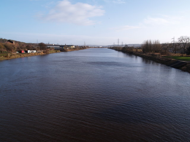
![]() This 10 mile walking and cycling trail runs along the River Tyne from Wylam to the upper reaches of the Tyne and the Derwent Walk Country Park in Gateshead. It is also known as National Cycle Route 141.
This 10 mile walking and cycling trail runs along the River Tyne from Wylam to the upper reaches of the Tyne and the Derwent Walk Country Park in Gateshead. It is also known as National Cycle Route 141.
The route starts on Wylam Bridge and follows the southern side of the river east. You'll pass Clara Vale, Ryton, Blaydon where you turn south to follow the River Derwent to the visitor centre at Derwent Walk Country Park. The park includes a mixture of woodland, meadows and wetlands with views of the impressive Nine Arches viaduct over the river as well. Here you can also visit the visitor centre and enjoy some well earned refreshments after your exercise.
Keelmans Way Ordnance Survey Map  - view and print off detailed OS map
Keelmans Way Open Street Map  - view and print off detailed map
Keelmans Way OS Map  - Mobile GPS OS Map with Location tracking
Keelmans Way Open Street Map  - Mobile GPS Map with Location tracking
Further Information and Other Local Ideas
The Newburn to Wylam Walk uses part of the trail to create a circular walk between the two riverside settlements. You could use it to visit the north side of the river where you can visit the birthplace of railway pioneer George Stephenson at the National Trust's Stephenson's cottage.
For more walking ideas in the area see the Tyne and Wear Walks page.
Cycle Routes and Walking Routes Nearby
Photos
Stella Staith, Blaydon. Little evidence remains of the Towneley Main Waggonway which brought coal from Stargate Pit to the River Tyne at Stella Staith (without an e). The plaque on this support for the waggonway does not refer to the mining heritage of the area but to Blaydon Races which were run on nearby Blaydon Island and Stella Haugh.


