Kelly Cut Walk
![]()
![]() This walk takes you along the Kelly Cut in the Clyde Muirshiel Regional Park near Greenock and Wemyss Bay.
This walk takes you along the Kelly Cut in the Clyde Muirshiel Regional Park near Greenock and Wemyss Bay.
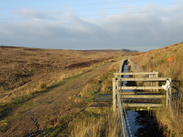
The cut is a narrow 4-mile-long non-navigable canal that once conveyed water from The Kelly Reservoir on the hill behind Wemyss Bay and Crawhin Reservoir on Crawhin Hill near Cornalees to The Compensation Reservoir at Cornalees. From there, the water flowed into The Greenock Cut, which supplied water to Greenock for industrial and domestic purposes.
Constructed in 1845, the Kelly Cut is less substantial in terms of its construction and footbridges compared to the Greenock Cut. It winds around Wenchly Top, Brown Hill, and Crawhin Hill at approximately 500 feet above sea level.
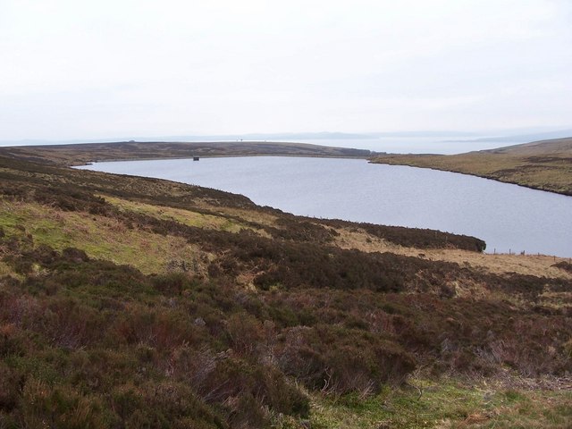
On the walk you will pass a series of pretty reservoirs while enjoying fine views across the heather covered moorland in the park. You can start the walk from the car park at the Greenock Cut visitor centre.
You can continue your walking in the area on the circular Greenock Cut Walk which starts from the same car park.
Kelly Cut Ordnance Survey Map  - view and print off detailed OS map
Kelly Cut Open Street Map  - view and print off detailed map
Kelly Cut OS Map  - Mobile GPS OS Map with Location tracking
Kelly Cut Open Street Map  - Mobile GPS Map with Location tracking
Further Information and Other Local Ideas
In nearby Gourock you can catch the ferry to Dunoon and try the Dunoon Bishop's Seat Walk. There's a fine viewpoint here and the ruins of the ancient Dunoon Castle to see.


