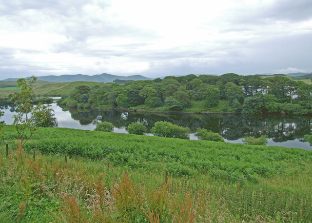
Killington Reservoir
![]()
![]() This large lake in Cumbria is a nice place for a short stroll and a picnic. The site also includes a bird hide and great views across the water to the Cumbrian hills.
This large lake in Cumbria is a nice place for a short stroll and a picnic. The site also includes a bird hide and great views across the water to the Cumbrian hills.
Park on the western side of the water and you can access the lakeside directly from there. You'll find some steps and a short grassy path with lovely picnic areas overlooking the lake. Please note there are only short paths on the western side and not a path running around the whole lake.
The lake is mainly used for water sports and fishing but it's well worth a visit for the stunning views of the Lake District mountains in the background. It's located next to a motorway service station so there's ample parking and good facilities including an information centre and restaurant.
Killington is located just a few miles west of Sedbergh where you can pick up the long distance Dales Way. You can pick it up just beyond Lily Mere and enjoy waterside trails along the River Lune.


