GPS Cycle and Walking Routescycle iconwalk icon

Fife Coastal Path Kincardine to Culross Walk

4 miles (6.5 km)

Ordnance Survey Map Open Streetmap This walk follows the opening section of the Fife Coastal Path from Kincardine To Culross.
The route runs for just over 4 miles following the fairly flat waymarked path east from Kincardine. On the way you will pass the Longannet Mines, Blair Castle and Dunimarle Castle before coming to Culross. Here you can visit the historic Culross Palace and Culross Abbey. The last section includes some lovely views over the Forth Estuary to Grangemouth.
Culross is well worth exploring with historic National Trust owned sites, white-harled houses with red-tiled roofs, steep cobbled streets, ancient abbey ruins and the ochre-coloured palace with its beautifully reconstructed period garden. 
The route also follows National Cycle Route 76 along a roadside cycle path so it also suitable for cyclists.
For the next section of the walk see the Culross To Limekilns Walk page. This will take you east to the nearby Torry Bay Nature Reserve where you can look out for a wide variety of wildlife.

Kincardine to Culross OS Map Ordnance survey map - Mobile GPS OS Map with Location tracking

Kincardine to Culross Open Street Map Open Streetmap - Mobile GPS Map with Location tracking

Cycle Routes and Walking Routes Nearby

Photos

Memorial - geograph.org.uk - 470605

Memorial, Kincardine

The Fife Coastal Path - geograph.org.uk - 3403313

The Fife Coastal Path

Blair Castle - geograph.org.uk - 439653

Blair Castle. The buildings and extensions are now owned by the Scottish Mining Convalescent Trust.

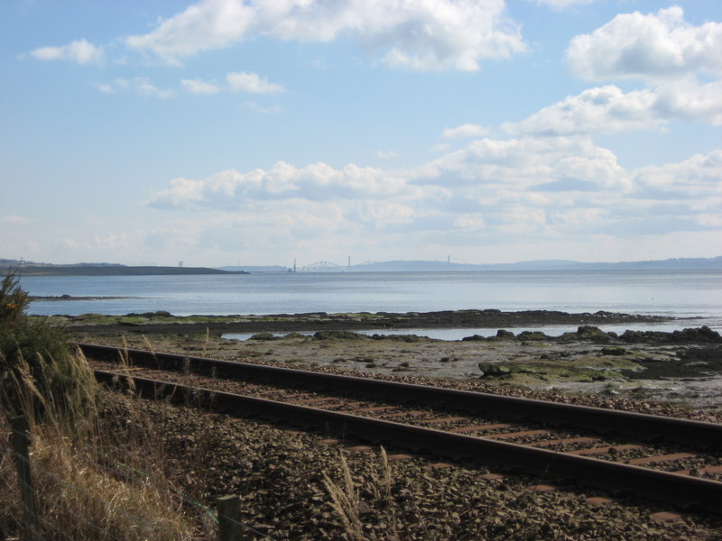
Forth Estuary - geograph.org.uk - 3403337

Forth Estuary

Across the Forth to Grangemouth - geograph.org.uk - 3405438

Across the Forth to Grangemouth

Dunimarle Castle (geograph 4396321)

Dunimarle Castle

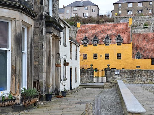
Culross Palace - geograph.org.uk - 4395934

Culross Palace. The streets of Culross have appeared many times in the hit US TV series Outlander.

Culross old harbour - geograph.org.uk - 25381

Culross old harbour. Culross was a busy port in the 16th and 17th centuries trading coal and salt with the Netherlands, Belgium, Germany and Denmark. Over the centuries the pier has deteriorated and it is now in a ruinous state. The Culross Development Trust aims to conserve and restore the pier.

Video

GPS Files

GPX File

Kincardine To Culross.gpx (On Desktop:Right Click>Save As. On Ipad/Iphone:Click and hold>Download Linked File)