Kirkby Malzeard Walks
![]()
![]() This North Yorkshire based village is located in the Harrogate district just south of Grewelthorpe.
This North Yorkshire based village is located in the Harrogate district just south of Grewelthorpe.
This circular walk from the village takes you south to visit one of the major highlights of the area at Studley Park and Fountains Abbey. The route makes use of a section of the Aislabie Walk, a long distance circular footpath which runs through the area.
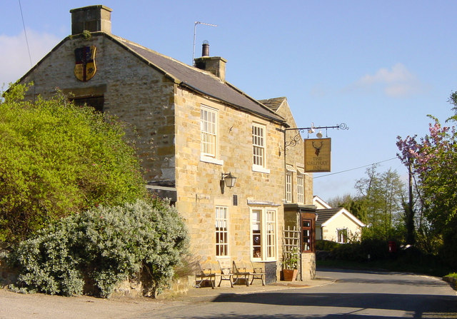
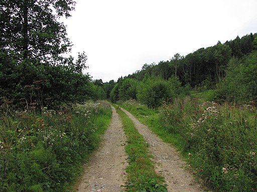
Start the walk in the village and head south along the waymarked trail to Galphay where there is a woodland section and views of the Holborn Beck.
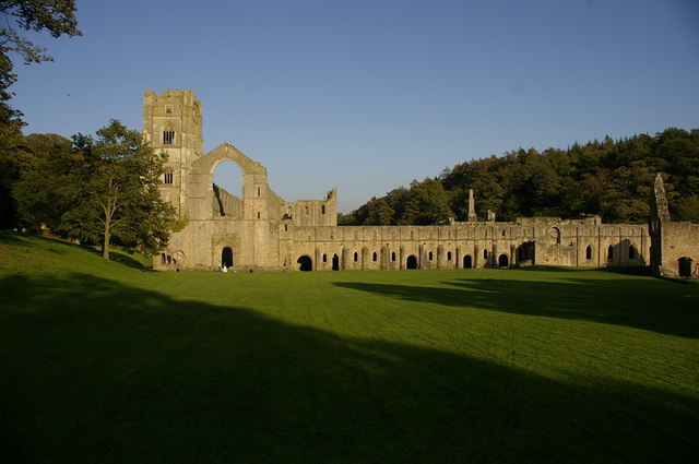
The route continues south through Aldfield and Spa Gill Wood before coming to Fountains Abbey. Here you can explore the fascinating ruins of the 12th century abbey and enjoy a walk around the beautiful Studley Park with its deer park and Georgian water garden. You can follow a section of the Ripon Rowel north east along the edge of the park and then pick up a bridleway heading north to Galphay Mill and Azerley Park.
From Azerley Park it is a short walk back to Kirkby Malzeard where the route finishes.
Postcode
HG4 3RS - Please note: Postcode may be approximate for some rural locationsKirkby Malzeard Ordnance Survey Map  - view and print off detailed OS map
Kirkby Malzeard Open Street Map  - view and print off detailed map
Kirkby Malzeard OS Map  - Mobile GPS OS Map with Location tracking
Kirkby Malzeard Open Street Map  - Mobile GPS Map with Location tracking
Walks near Kirkby Malzeard
- Aislabie Walk - This walk follows a circuit that connected the estates and gardens of the Aislabie family in the 18th century
- Grewelthorpe - This circular walk around Grewelthorpe uses the Ripon Rowel long distance trail to visit Hackfall Woods and the River Ure
- Ripon Rowel - This is a circular walk around the Yorkshire city of Ripon, visiting South Stainley, Markington and Masham
- Hackfall Woods - These peaceful woods near Grewelthorpe have miles of nice walking trails to try
- West Tanfield - This attractive North Yorkshire village has some lovely riverside paths, a popular long distance trail and a delightful local woodland park to explore.
- Studley Park and Fountains Abbey - This marvellous attraction boasts 800 acres of beautiful parkland set in the Yorkshire countryside
- Newby Hall - This 18th century hall near Ripon has extensive grounds with views over the River Ure, herbaceous borders and woodland walks
- Ripon Canal - Enjoy a short, waterside stroll along the Ripon Canal, on this easy walk in North Yorkshire
Pubs/Cafes
The Queen's Head is located on the Main Street at postcode HG4 3RS for your sat navs. They serve good food with parking and a garden available. They are also dog friendly.
Photos
The market cross at Kirby Malzeard, North Yorkshire. Behind it is another Grade II listed building, Barkways and Greystone. There has been a creamery in the village making Wensleydale cheese for almost 100 years
Galphay Inn. Galphay is a small hamlet approximately 5 - 6 miles from Ripon, North Yorks. The Inn is located at a sharp corner on the main road through this picturesque village.


