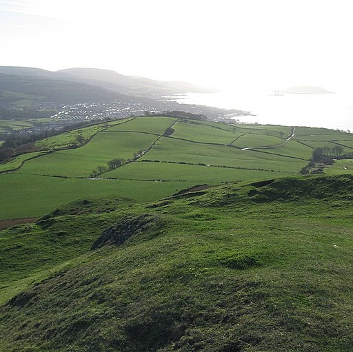
Knock Hill Walk
![]()
![]() This circular walk climbs to Knock Hill near Largs on the North Ayshire coast.
This circular walk climbs to Knock Hill near Largs on the North Ayshire coast.
The walk starts on the front next to the pier. You then head north to Noddsdale Water where you can pick up a waterside path heading north east past Netherhall. The route continues north to Brisbane Mains before coming to the summit of The Knock which stands at a height of 217 metres. Here you will find an ancient Iron Age Hillfort and splendid views to Cumbraes, Arran, Bute and the Firth of Clyde.
The route then descends west along the Blackhouse Burn to the coast where you can pick up the Ayrshire Coastal Path at St Fillan's Bridge. Follow the path south and it will take you back to Largs.
To continue your walking in the area try the Largs Walk which climbs to another fine viewpoint on Castle Hill.
Knock Hill Ordnance Survey Map  - view and print off detailed OS map
Knock Hill Open Street Map  - view and print off detailed map
Knock Hill OS Map  - Mobile GPS OS Map with Location tracking
Knock Hill Open Street Map  - Mobile GPS Map with Location tracking
Further Information and Other Local Ideas
Head south of Largs and you can pick up the popular Fairlie Glen Circular Walk. It's a delightful route with babbling streams, woodland trails, open glens, photogenic waterfalls and fine coastal views.


