Lady Clough Woods
![]()
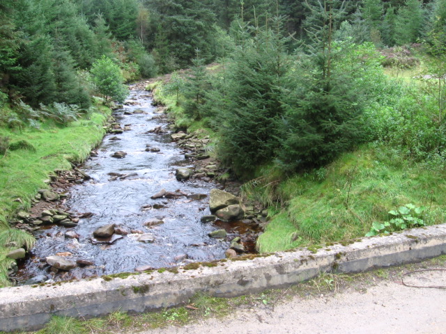
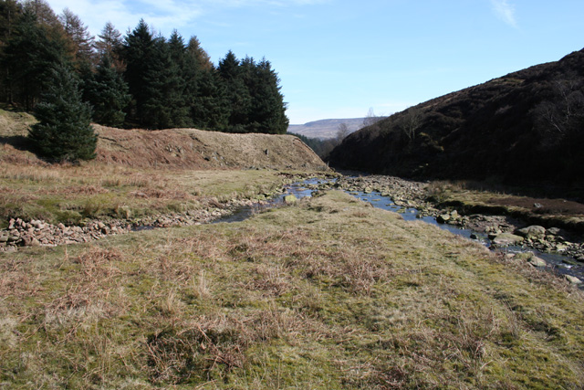
![]() These attractive woodlands are located just off the Snake Pass in the Peak District. There are miles of nice nice walking trails to try. It's a very pretty area with the rushing water of the River Ashop, tranquil ponds and attractive coniferous woodland.
These attractive woodlands are located just off the Snake Pass in the Peak District. There are miles of nice nice walking trails to try. It's a very pretty area with the rushing water of the River Ashop, tranquil ponds and attractive coniferous woodland.
The walk starts from the car park at Birchen Clough Bridge just off Snake Road. From here you gain direct access to the woodland trails which take you to Lady Clough Moor and Urchin Moor. There are two colour coded waymarked trails on challenging paths with stream crossings and great views of the surrounding moorland. After the walk you can refresh yourself at the Snake Pass Inn just south of the woods.
The walk can be extended by heading west across Ashop Moor to Ashop Clough. Just to the east you will find the Alport Castles Walk.
You could also try our Snake Pass circular walk which explores the area around the pass. It starts from the woods and heads along Black Ashop Moor.
The woods also make a good start point for visiting the crash site of the USAF Boeing RB-29A Superfortress at Higher Shelf Stones. The site is located just to the north of the woods where you can still see much of the wreckage and a memorial to those who lost their lives. See the B29 Crash Site Walk from Snake Pass page for more details.
Postcode
S33 0BJ - Please note: Postcode may be approximate for some rural locationsLady Clough Woods Ordnance Survey Map  - view and print off detailed OS map
Lady Clough Woods Open Street Map  - view and print off detailed map
*New* - Walks and Cycle Routes Near Me Map - Waymarked Routes and Mountain Bike Trails>>
Lady Clough Woods OS Map  - Mobile GPS OS Map with Location tracking
Lady Clough Woods Open Street Map  - Mobile GPS Map with Location tracking
Cycle Routes and Walking Routes Nearby
Photos
Lady Clough Woods. In Lady Clough woods near to the Birchen Clough Bridge layby on the A57 - Snake Pass road.


