Lancaut Walk
![]()
![]() This walk explores the Lancaut Peninsula in the Wye Valley AONB. It's a scenic and historic place situated around the abandoned medieval village of Lancaut.
This walk explores the Lancaut Peninsula in the Wye Valley AONB. It's a scenic and historic place situated around the abandoned medieval village of Lancaut.
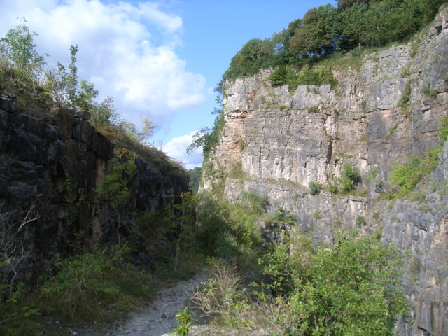
The area includes a pleasant riverside walk and some interesting old ruined buildings including the ancient Lancaut Church. The trail runs for about 2 miles from Lancaut to Chepstow, passing the 12th century Lancaut church ruins, Woodcroft Quarry and the wonderful viewpoint at Wintour's Leap on the way. The route finishes in Chepstow where you can visit the historic castle.
Lancaut is also a designated nature reserve so there's lots of birdlife and interesting flora to see on the way. Keep your eyes peeled for peregrine falcon, raven, cormorant and herons in the river area.
Lancaut Walk Ordnance Survey Map  - view and print off detailed OS map
Lancaut Walk Open Street Map  - view and print off detailed map
Lancaut Walk OS Map  - Mobile GPS OS Map with Location tracking
Lancaut Walk Open Street Map  - Mobile GPS Map with Location tracking
Cycle Routes and Walking Routes Nearby
Photos
Lancaut and the Lancaut Peninsula, the Wye Valley. The farm at Lancaut, which appears to be undergoing conversion or development, viewpoint from the popular viewpoint of the Eagle's Neat above Wyndcliff. The River Wye can be seen in the background.
St James's Church, Lancaut. Lancaut takes its name from Llan (Welsh for church) and an obscure Welsh saint, named Cewydd. The origins of this small church date from the 12th century, however, the church was abandoned in 1840 and has been roofless since 1865. It is located is a secluded spot in the Wye Valley. The cliffs in the background are Wintour's Leap.


