Lanercost Priory
![]()
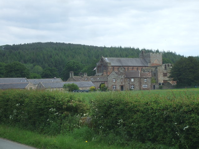
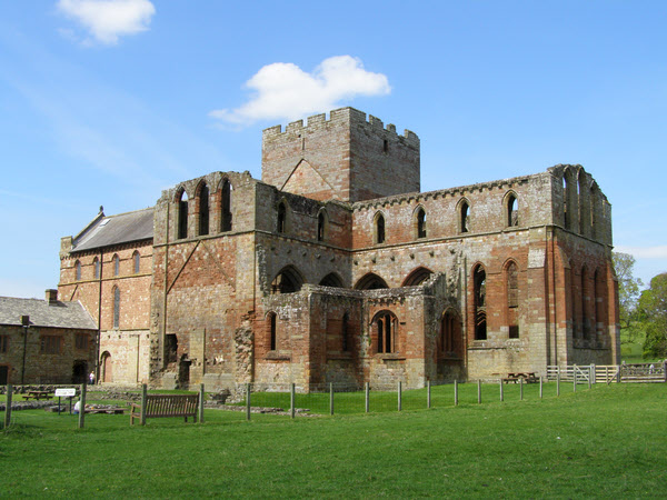
![]() This walk visits the historic Lanercost Priory in Cumbria. The Augustinian Priory dates back to the 12th century with substantial ruins still visible today. It sits in a great location for walking, close to Hadrian's Wall and the River Irthing which flows just to the south. The site is run by English Heritage and has a fascinating history, playing a role in the Anglo-Scottish wars of the 13th and 14th centuries.
This walk visits the historic Lanercost Priory in Cumbria. The Augustinian Priory dates back to the 12th century with substantial ruins still visible today. It sits in a great location for walking, close to Hadrian's Wall and the River Irthing which flows just to the south. The site is run by English Heritage and has a fascinating history, playing a role in the Anglo-Scottish wars of the 13th and 14th centuries.
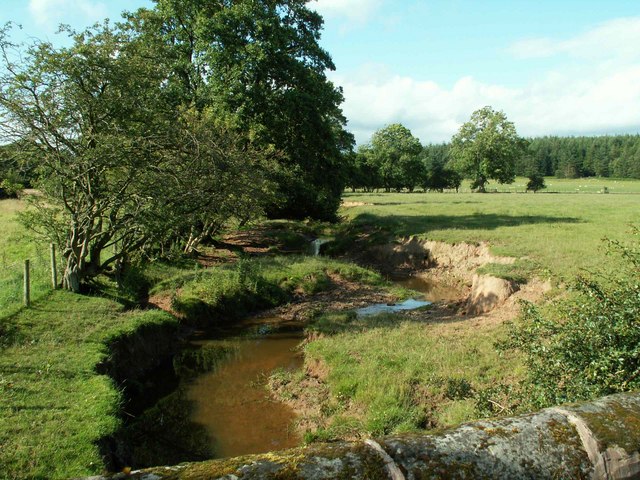
This circular walk from the priory visits the nearby Hadrian's Wall at Hare Hill. You then head west along the wall to visit Burtholme Bridge where there are nice views of the Burtholme Beck. The final section takes you along the River Irthing to return to the priory, passing Lanercost Old Bridge on the way.
The walk can be started from the on site car park next to the church. Other facilities include a gift shop, tea room and information panels detailing the history of the priory which later became a manor house.
Postcode
CA8 2HQ - Please note: Postcode may be approximate for some rural locationsPlease click here for more information
Lanercost Priory Ordnance Survey Map  - view and print off detailed OS map
Lanercost Priory Open Street Map  - view and print off detailed map
Lanercost Priory OS Map  - Mobile GPS OS Map with Location tracking
Lanercost Priory Open Street Map  - Mobile GPS Map with Location tracking
Pubs/Cafes
There's a tea room and farm shop where you can pick up a range of refreshments after your exercise.
Dog Walking
The area is a nice place for a dog walk and the tea room mentioned above is also very dog friendly.
Further Information and Other Local Ideas
You can easily extend the walk by continuing east along the wall to visit Birdoswald Fort. The fort is one of the highlights of the area and gives an interesting insight into the history of the area.
Just to the south there's Miltonrigg Woods where you can enjoy a series of peaceful woodland trails.
Cycle Routes and Walking Routes Nearby
Photos
Lanercost Priory 12th century buildings. The history of the priory includes visits from King Edward I and Robert Bruce
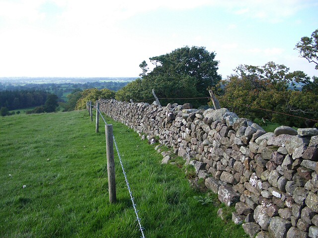
Drystone wall descending Craggle Hill. Although this wall is more recent it contains blocks of Roman masonry and is on the line of Hadrian's Wall.


