Lindsey Trail - Lincolnshire Wolds Cycle Route
![]()
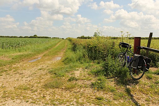
![]() This new bridleway runs through the Lincolnshire Wolds AONB and is suitable for both walkers and cyclists with a hybrid or mountain bike.
This new bridleway runs through the Lincolnshire Wolds AONB and is suitable for both walkers and cyclists with a hybrid or mountain bike.
The route runs for just over 70 miles on fairly flat paths making it a reasonably easy cycle or walk.
The trali mainly follows country lanes but there are off road sections too, notably in Willingham Woods just east of Market Rasen. The woods make a good start point for the route with a picnic area and large car park.
Please click here for more information
Lindsey Trail Ordnance Survey Map  - view and print off detailed OS map
Lindsey Trail Open Street Map  - view and print off detailed map
Lindsey Trail OS Map  - Mobile GPS OS Map with Location tracking
Lindsey Trail Open Street Map  - Mobile GPS Map with Location tracking
Further Information and Other Local Ideas
The route passes Market Rasen at the northern end. Here you can pick up the Market Rasen to Grimsby and Market Rasen to Hessle cycle routes. Near here the route passes through the pretty village of Tealby and the expansive Willingham Woods.
You'll also pass close to the attractive town of Horncastle at the southern end of the route.
For more walking ideas in the area see the Lincolnshire Walks page.
Cycle Routes and Walking Routes Nearby
Photos
All Saints' church, Tealby. You'll pass through this pretty village near Market Rasen. All Saints' church looks down on most of Tealby from the top of the hill. Norman tower with Perpendicular top, Early English and Decorated arcades, the chancel is by James Fowler in 1872.
Elevation Profile


