Linn of Quoich
![]()
![]() Enjoy riverside walking, beautiful waterfalls and peaceful woodland trails on this walk through Glen Quoich in the Cairngorms.
Enjoy riverside walking, beautiful waterfalls and peaceful woodland trails on this walk through Glen Quoich in the Cairngorms.
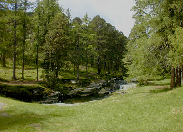
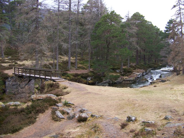
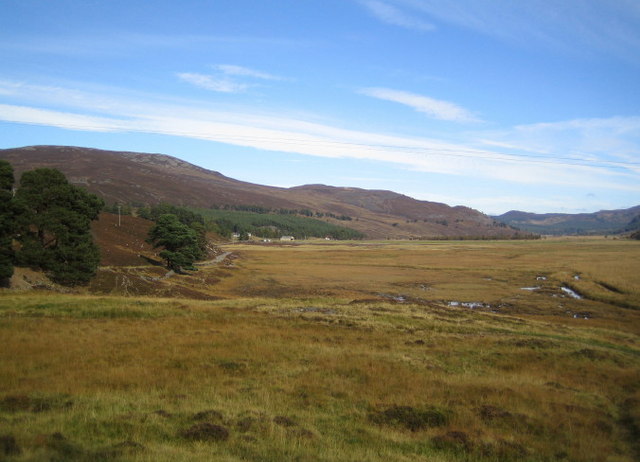
The walk starts at the Linn of Quoich parking area and follows Quoich Water to the waterfalls which were popular with Queen Victoria. On the walk you will pass an old building which was Queen Victoria's tearoom. The river is surrounded by attractive Scots pines and there is the wonderful backdrop of the Cairngorm Mountains to enjoy. You will also pass the Punch Bowl, a round carved hole that has formed over the centuries by the pounding water.
You can continue your walking in the area by heading to the Linn of Dee which is only a few miles along the road to the west.
Postcode
AB35 5YB - Please note: Postcode may be approximate for some rural locationsLinn of Quoich Ordnance Survey Map  - view and print off detailed OS map
Linn of Quoich Open Street Map  - view and print off detailed map
Linn of Quoich OS Map  - Mobile GPS OS Map with Location tracking
Linn of Quoich Open Street Map  - Mobile GPS Map with Location tracking
Further Information and Other Local Ideas
Head east and you can enjoy a challenging climb to Ben Avon. There's some impressive granite tors and wonderful far reaching views from here.
Just a mile to the south east is the Morrone Birkwood nature reserve where you can look out for a variety of wildlife.
For more walking ideas in the area see the Cairngorms Walks page.
Cycle Routes and Walking Routes Nearby
Photos
The punchbowl is a hole worn in the rock by pebbles swirling fast in the stream. It can just be seen as a black circle in the snow on top of the rock on the left hand side of the burn


