Little Haven Walk
![]()
![]() This pretty village is located on the west coast of Pembrokeshire at the southern end of St Brides Bay.
This pretty village is located on the west coast of Pembrokeshire at the southern end of St Brides Bay.
This walk takes you along a section of the Pembrokeshire Coast Path to St Brides Haven.
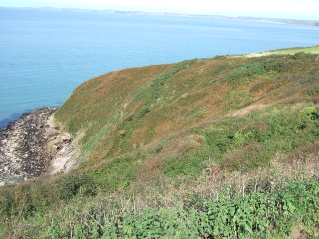
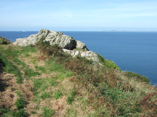
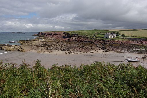
You can start the walk in the car park in the village and then follow the waymarked footpath west along the cliff top path for a distance of just under 5 miles. On the way you will pass Musselwick, Strawberry Hill, Goultrop Roads, Borough Head, Mill Haven and Tiklas Point before coming to St Brides Haven. There's splendid sea views to enjoy from the elevated path. At St Brides Haven you'll find a delightful secluded beach, rock pools and the 19th-century St Brides Castle.
To continue your walking in the area try the Broad Haven Walk which will take you north along the coast path to the splendidly positioned Druidston Hotel.
Little Haven Ordnance Survey Map  - view and print off detailed OS map
Little Haven Open Street Map  - view and print off detailed map
Little Haven OS Map  - Mobile GPS OS Map with Location tracking
Little Haven Open Street Map  - Mobile GPS Map with Location tracking
Walks near Little Haven
- Broad Haven - This popular sea side resort sits in a lovely spot on the edge of St Bride's Bay in Pembrokeshire.
- Pembrokeshire Coast Path - Brace yourself for some spectacular coastal scenery on this magnificent 186 mile trail that passes through the Pembrokeshire Coast National Park
- Skomer Island - Visit this beautiful Island on the Pembrokeshire Coast and enjoy wonderful coastal views and thousands of breeding seabirds
- Martin's Haven - Explore the beautiful Marloes Peninsula on this circular coastal walk in the Pembrokeshire Coast National Park
- Marloes Sands - This short circular walk visits the beautiful Marloes Peninsula on the Pembrokeshire Coast
- Solva Harbour - Enjoy a walk around the beautiful Solva Harbour on the Pembrokeshire Coast
- Solva to Newgale Walk - This walk follows a lovely section of the Pembrokeshire Coast Path from Solva to Newgale
- Solva to St Davids Coastal Walk - A popular coastal walk from Solva to St David's along a section of the Pembrokeshire Coast Path
Pubs/Cafes
The Swan Inn dates back to 1785 and is located in a superb spot overlooking the bay. There's good food and fine sea views to enjoy here. You can find them at postcode SA62 3UL for your sat navs. The pub is also dog friendly.
Further Information and Other Local Ideas
If you continue south along the coast path you will soon come to one of the major highlights of the area at Skomer Island. You can visit the island from April to October by catching a boat from Martin's Haven near Marloes Sands. The island is great for bird watching with thousands of breeding seabirds to see.
Photos
Borough Head. On the Pembrokeshire Coast path. Little Haven is just beyond the headland out of view. The village that can be seen in the centre is Broad Haven.


