Llanfair Talhaiarn Walks
![]()
![]() This pretty village sit in a fine location, surrounded by the countryside of the lovely River Elwy Valley.
This pretty village sit in a fine location, surrounded by the countryside of the lovely River Elwy Valley.
This circular walk from the village heads east to visit the splendid viewpoint at Mynydd Bodran.
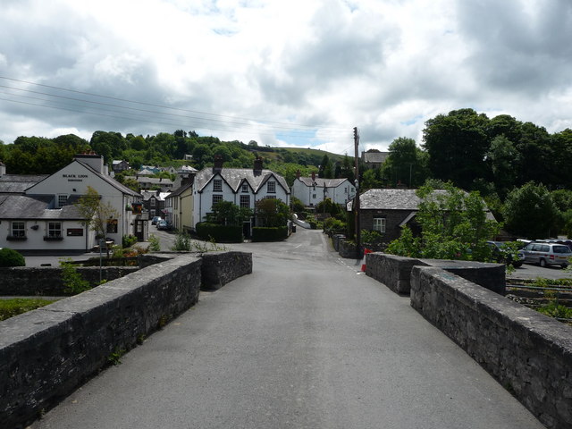
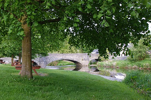
The walk starts in the village on the lovely old stone arched bridge. You can then follow country lanes east to climb Mynydd Bodran. From the hill summit there are splendid views down to the village and across the surrounding hills and countryside. On a clear day you can see as far as Snowdon and the Welsh coast.
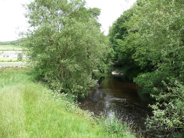
Continue east and you will come to the River Aled where you can follow a riverside footpath south to link with another country lane. Follow this west and it will take you past the woodland of Coed Bryn Kenrick before returning to the village.
Postcode
LL22 8RY - Please note: Postcode may be approximate for some rural locationsLlanfair Talhaiarn Ordnance Survey Map  - view and print off detailed OS map
Llanfair Talhaiarn Open Street Map  - view and print off detailed map
Llanfair Talhaiarn OS Map  - Mobile GPS OS Map with Location tracking
Llanfair Talhaiarn Open Street Map  - Mobile GPS Map with Location tracking
Walks near Llanfair Talhaiarn
- Abergele - This town in North Wales has some nice walks along the coast and local woodland to try
- Bodelwyddan Castle - Explore the 260 acres of parkland and gardens surrounding this 19th century castle in Denbighshire, North Wales
- Rhuddlan To Rhyl - River and Coast Walk - This nice walk from runs from Rhuddlan To Rhyl along the River Clwyd and the North Wales Coast
- Denbigh - This market town is located in the north east of Wales in the county of Denbighshire
- Dolgarrog Pipeline Walk - This walk explores the area around the village of Dolgarrog in Conwy County Borough on the edge of the Snowdonia National Park
- Prestatyn - This seaside resort is located in a great spot on the North Wales coast in Denbighshire
- Colwyn Bay - This lovely coastal walk in Colwyn Bay takes you to some of the highlights of this lovely area
- Gwrych Castle - This Grade I listed castle is located near Abergele in Conwy, Wales.
- Rhyd y Foel - This small rural village lies in a lovely spot in the River Dulas Valley, near to the Conwy coast.
- Llyn Eigiau - This walk visits the beautiful Llyn Eigiau in the Carneddau Mountains of the Snowdonia National Park.
- Rhyl - This seaside town is located between Prestatyn and Abergele on the North Wales coast.
- Cadair Ifan Goch - This walk climbs to the excellent viewpoint on Cadair Ifan Goch in the Conwy Valley just north of Llanrwst, North Wales.
- Henllan - The village of Henllan is located near the town of Denbigh in the Welsh county of Denbighshire
- Llannefydd - This small Welsh village is located in Conwy County near Denbigh and St Asaph.
Pubs/Cafes
Back in the village head to the Black Lion for some well earned refreshments. The pub serves good quality dishes and is in a lovely location next to the river. You can find them at Swan Square with a postcode of LL22 8RY for your sat navs.
Dog Walking
The hill and country trails make for a fine walk for fit dogs. The Black Lion mentioned above is dog friendly in the outdoor area.
Further Information and Other Local Ideas
Head a few miles north east and you could enjoy a walk around the splendid grounds of the 19th century Bodelwyddan Castle.
The coastal North Wales Path can also be picked up to the north in nearby Abergele. Here you could visit the woodland, gardens and viewpoint at Gwrych Castle. The Grade I listed castle became famous in 2020 when it was used as the setting for the 20th series of I'm a Celebrity...Get Me Out of Here! On the western side of the castle there's the small village of Rhyd y Foel where you can enjoy a climb to the Pen y Corddyn Mawr hill fort. There's photogenic limestone scenery and more fine views over the River Dulas valley from this interesting ancient site.
To the west is the climb to Cadair Ifan Goch, a National Trust owned area. From the summit of the hills there are excellent views over the River Conwy Valley to the Carneddau mountains.
Photos
Llanfair Talhaiarn from the old bridge. The village derives it's name from the church dedicated to Mary "Llanfair" and the bardic name of the poet and architect John Jones which was "Talhaiarn".


