Llyn Parc
![]()
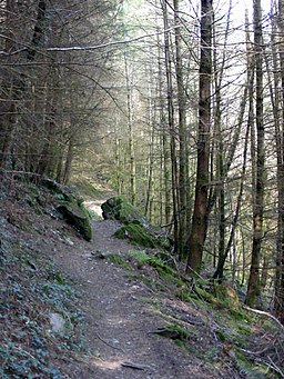
![]() This walk takes you from Betws Y Coed to the lovely Llyn Parc in the Gwydyr Forest. It's a about a 2 mile walk from the village to the lake. The forest is in an elevated position so you will be climbing up hill on the way there before descending on the return leg.
This walk takes you from Betws Y Coed to the lovely Llyn Parc in the Gwydyr Forest. It's a about a 2 mile walk from the village to the lake. The forest is in an elevated position so you will be climbing up hill on the way there before descending on the return leg.
The walk starts in the popular village of Betws y Coed where it is a short walk north to the forest. Here you can pick up a waymarked footpath heading north past the Clogwyn Cyrrau Nature Reserve and the disused mines to the lake. Look out for the waterfall at the Aberllyn mine near the lake. When you reach the lake there is then a nice footpath to follow along the water before returning on the same paths.
Llyn Parc Ordnance Survey Map  - view and print off detailed OS map
Llyn Parc Open Street Map  - view and print off detailed map
*New* - Walks and Cycle Routes Near Me Map - Waymarked Routes and Mountain Bike Trails>>
Llyn Parc OS Map  - Mobile GPS OS Map with Location tracking
Llyn Parc Open Street Map  - Mobile GPS Map with Location tracking
Further Information and Other Local Ideas
To the north you will find the noteworthy market town of Llanrwst. Here you can try the circular Llanrwst Walk which visits some of the towns highlights. These include the splendid Gwydir Estate which contains a historic castle, an ancient chapel, the Grey Mare's Tail Waterfall. The walk also visits the forest and Llyn Parc so provides an alternative route for reaching the lake.
The Fishermans Walk and Lledr Gorge Walk starts just to the south west of the settlement at Pont-y-Pant railway station on the Conwy Valley line. This takes you through the beautiful scenery of the Lledr Gorge with its picturesque waterfalls, stepping stones and Pont Gethin viaduct. There's also the option of trying the Victorian Fishermans Walk, a precarious route through the gorge on a rickety old walkway.
For more walking ideas in the area see the Snowdonia Walks page.
Cycle Routes and Walking Routes Nearby
Photos
Cascade in the Aberllyn Gorge. Looking through the trees from the footpath which climbs steeply to the Aberllyn mine and the lake.
Entrance to level at Aberllyn Mine. Zinc and lead were mined at Aberllyn into the 20th century. This is one of a number of levels close to the footpath towards Llyn Parc. I think this is the first the visitor comes to when walking up the gorge. All have been closed off by Forest Enterprise who no longer allow access.


