Loch Callater
![]()
![]() This walk visits the beautiful Loch Callater near Braemar in Aberdeenshire.
This walk visits the beautiful Loch Callater near Braemar in Aberdeenshire.
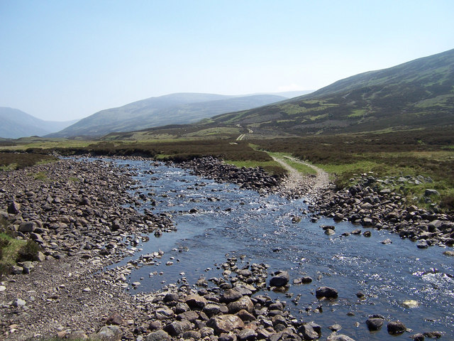
The remote loch is a lovely place for peaceful walks in dramatic surroundings. You can follow circular trails around the loch though you may need waterproof boots for the whole circuit as there is a stream crossing at the end.
There's a car park to the north at Auchallater where you can start the walk. You can park here and follow the Callater Burn south through Glen Callater to reach the loch.
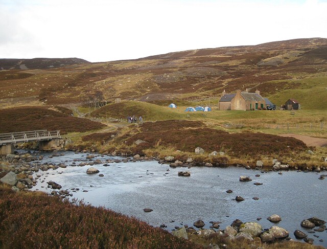
At the northern end of the loch there's the Callater Stable Walkers' Bothy where you can get some shelter in inclement weather.
The Jocks Road long distance trail passes the loch. You could pick this up to explore Glen Clova and visit the stunning Corrie Fee Nature Reserve.
Postcode
AB35 5XS - Please note: Postcode may be approximate for some rural locationsLoch Callater Ordnance Survey Map  - view and print off detailed OS map
Loch Callater Open Street Map  - view and print off detailed map
Loch Callater OS Map  - Mobile GPS OS Map with Location tracking
Loch Callater Open Street Map  - Mobile GPS Map with Location tracking
Dog Walking
The glen and loch are a lovely place for a peaceful dog walk. There are some sheep around so it's best to keep them under control in these areas.
Further Information and Other Local Ideas
Head south east and you could enjoy more lochside walking at Loch Muick and Loch Brandy.
Head into nearby Ballater and you could pick up the popular 7 Bridges Walk. The circular walk explores the area around the town visiting a series of old bridges.
For more walking ideas in the area see the Cairngorms Walks page.


