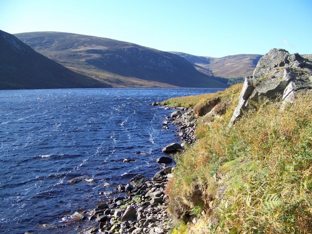
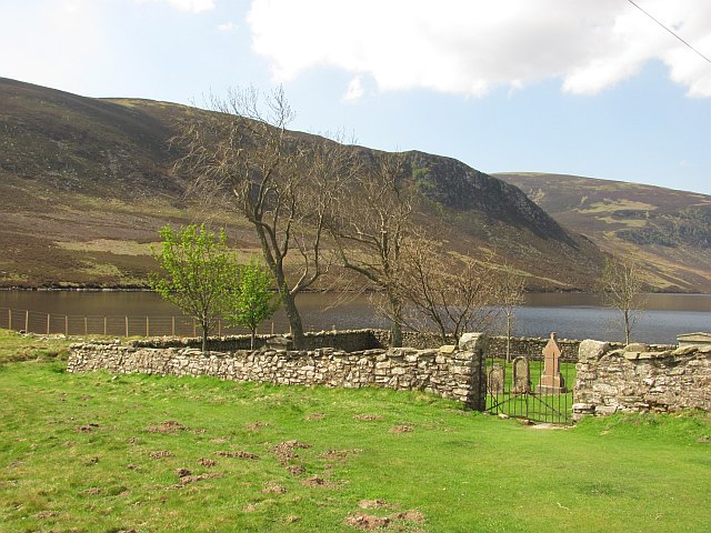
Loch Lee
![]()
![]() This walk visits Loch Lee and then climbs to the stunning Falls of Unich and the Falls of Damff. The walk starts at the parking area at Invermark and follows a footpath along the Water of Lee to the loch, passing the 18th century Invermark Castle on the way. The path continues along the northern end of the Loch before climbing through the beautiful Glen Lee to the Falls of Unich and the Falls of Damff. It's a stunning area with wonderful views of Glen Esk and the surrounding hills and mountains.
This walk visits Loch Lee and then climbs to the stunning Falls of Unich and the Falls of Damff. The walk starts at the parking area at Invermark and follows a footpath along the Water of Lee to the loch, passing the 18th century Invermark Castle on the way. The path continues along the northern end of the Loch before climbing through the beautiful Glen Lee to the Falls of Unich and the Falls of Damff. It's a stunning area with wonderful views of Glen Esk and the surrounding hills and mountains.
Towards the eastern end of the loch you can pick up the Mount Keen Walk. From the summit there are fabulous views back down to the loch.
Postcode
DD9 7YZ - Please note: Postcode may be approximate for some rural locationsLoch Lee Ordnance Survey Map  - view and print off detailed OS map
Loch Lee Open Street Map  - view and print off detailed map
Loch Lee OS Map  - Mobile GPS OS Map with Location tracking
Loch Lee Open Street Map  - Mobile GPS Map with Location tracking
Further Information and Other Local Ideas
To continue your walking in Glen Esk head a few miles south east and try the popular Edzell Blue Door Walk. This takes you along a splendid river gorge on the North Esk with waterfalls and salmon leaps to see on the way.
Cycle Routes and Walking Routes Nearby
Photos
A frozen Loch Lee. The ice extends from the stony shore for around a third of the lochs length. About two inches thick here and firm despite the warm sun. A reminder that it is winter, even if the thin traces of snow around the corrie tops make it look more like April or May.


