GPS Cycle and Walking Routescycle iconwalk icon

Loch Torridon Walk

0.9 miles (1.5 km)

Ordnance Survey Map Open Streetmap This short circular walk provides great views over Loch Torridon in the Torridon Hills. The walk starts from the Torridon Inn car park and takes you through woodland trails to the shoreline.
Here you can enjoy the views across the loch to the surrounding mountains of Beinn Alligin and Eilean Chasgaig. It's a great place for wildlife with herons, oystercatchers and otters to look out for.
To continue your walking around the loch head west to visit the Shieldaig Peninsula. There's fine views to Shieldaig Island and Shieldaig Loch in this lovely area.

Postcode

IV22 2EY - Please note: Postcode may be approximate for some rural locations

Loch Torridon OS Map Ordnance survey map - Mobile GPS OS Map with Location tracking

Loch Torridon Open Street Map Open Streetmap - Mobile GPS Map with Location tracking

Photos

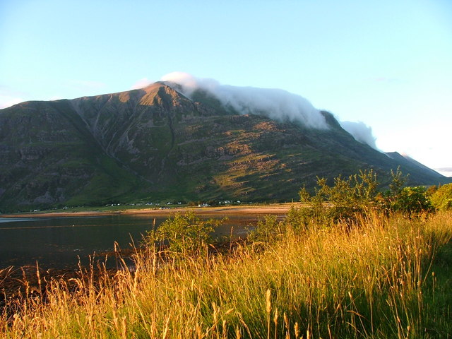
Liathach and Torridon village from the loch shore at Annat - geograph.org.uk - 292674

Liathach and Torridon village from the loch shore at Annat

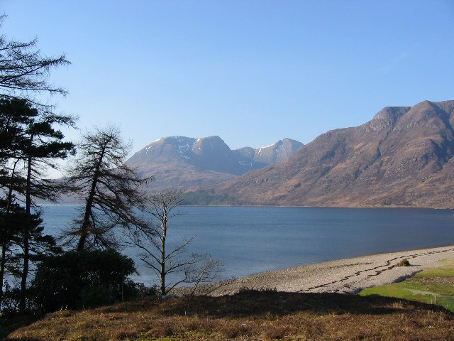
Southeastern shoreline of Upper Loch Torridon - geograph.org.uk - 3081920

Southeastern shoreline of Upper Loch Torridon

Loch Torridon Hotel - geograph.org.uk - 1422451

Loch Torridon Hotel

The sands of Annat - geograph.org.uk - 2400591

Loch Torridon Hotel. With Beinn Alligin in the background.

Eilean Chasgaig. - geograph.org.uk - 1021811

Eilean Chasgaig. Taken from the rocky shore just outside Quay Lodge. A small tidal island, Eilean Chasgaig is accessible by boat or if the tide is out, by foot.

Annat Beach - geograph.org.uk - 7075

Annat Beach. Beach at the head of Loch Torridon, Beinn Alligin in the background.

Video

GPS Files

GPX File

Loch Torridon.gpx (On Desktop:Right Click>Save As. On Ipad/Iphone:Click and hold>Download Linked File)

Memory Map Route

Loch Torridon.mmo (On Desktop:Right Click>Save As. On Ipad/Iphone:Click and hold >Download Linked File)