Looe To Seaton Beach Walk
![]()
![]() This coastal walk takes you along the South West Coast Path from Looe To Seaton Beach in Cornwall.
This coastal walk takes you along the South West Coast Path from Looe To Seaton Beach in Cornwall.
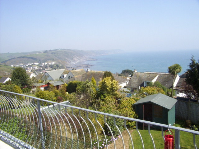
The route runs for just under 4 miles along the undulating path. From the cliff top sections there are wonderful views over Looe Bay and Whitsand Bay. You'll also pass a noteworthy local attraction at Looe's Monkey Sanctuary where you can view the woolly monkeys in there large enclosures. The path passes the sanctuary just over half way along the route.
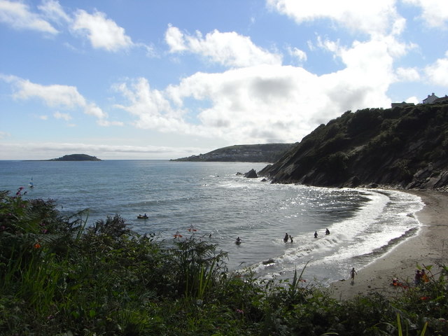
The walk starts of on the lovely Looe Beach next to the pier. You then head east along the beach to pick up the waymarked coastal path. This will take you east to Plaidy and Millendreath Beach where there is a pleasant sandy beach in a sheltered cove.
You continue east past Colmer Rocks and Keveral Beach before finishing at Seaton Beach.
Looe To Seaton Beach Walk Ordnance Survey Map  - view and print off detailed OS map
Looe To Seaton Beach Walk Open Street Map  - view and print off detailed map
Looe To Seaton Beach Walk OS Map  - Mobile GPS OS Map with Location tracking
Looe To Seaton Beach Walk Open Street Map  - Mobile GPS Map with Location tracking
Further Information and Other Local Ideas
If you head north from Seaton Beach you could visit the nearby Seaton Valley Countryside Park. There's nice trails along the River Seaton and lots of wildlife to see in this lovely nature reserve.
Cycle Routes and Walking Routes Nearby
Photos
Monkey Sanctuary. The sanctuary is home to woolly monkeys that are descended from the original pets escued in the 1960s by Len Williams, father of classical guitarist John Williams. There is also a colony of rare lesser horseshoe bats living in the cellar of Murrayton House, a 19th-century building that is the visitors' centre and accommodation for staff and volunteers. The bats can be observed from the "bat cave", a room that shows CCTV footage from an infrared camera installed in the cellar.


