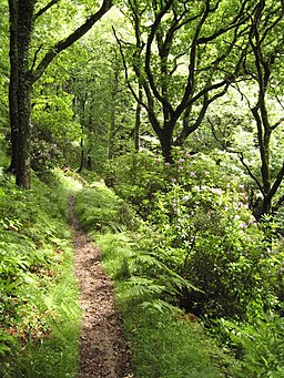
Lorna Doone Walk
![]()
![]() Explore Exmoor's beautiful Doone Valley on this fine literary walk.
Explore Exmoor's beautiful Doone Valley on this fine literary walk.
The area has strong connections with Richard Dodderidge Blackmore's 1869 novel 'Lorna Doone: A Romance of Exmoor'. The walk notably visits Oare church, scene of Lorna Doone's dramatic wedding day.
Start the walk from the County Gate Car Park (EX35 6NQ), just off the A39 north of Malmsmead. From here you can pick up the trails heading north east towards the Glenthorne Beach on the coast. Around here you pick up a section of the South West Coast Path to take you through Yenworthy Wood.
The route heads south across Yenworthy Common, before passing along Deddy Combe to Oare. Here you can visit the 15th century Church of St Mary with its Norman font, cherubic memorials and strong links with the novel.
From here head south west to cross Badgworthy Water where you pick up the Samaritans Way South West. Follow it north along the water through Malmsmead before returning to the car park.
It's easy to extend your walking in the area by picking up the South West Coast Path and heading west to Foreland Point. Here you can visit Foreland Lighthouse at the most northerly point along the Devon and Exmoor coast. There's splendid views across the Bristol Channel to the Welsh coast too.
Head east and you will soon come to Porlock and Porlock Weir. The picturesque area includes a lovely harbour and lots of attractive little cottages, many of which date from the 17th century. On the way you will also pass the picturesque Culbone Church. It's thought to be the smallest church in England and dates from pre Norman times.
If you follow the Samaritans Way west from the car park it will take you along the East Lynn River to the delightful Watersmeet. Here you will find 2000 acres of river gorge and woodland with miles of walking trails to try.


