Lyth Valley
![]()
![]() This 10 mile circular walk explores the beautiful Lyth Valley on the south eastern edge of the Lake District. It's a bit of a hidden gem with an expansive nature reserve, hill climbs, pretty villages and rivers. It is also well known for its damsons which appear in great numbers in early spring.
This 10 mile circular walk explores the beautiful Lyth Valley on the south eastern edge of the Lake District. It's a bit of a hidden gem with an expansive nature reserve, hill climbs, pretty villages and rivers. It is also well known for its damsons which appear in great numbers in early spring.
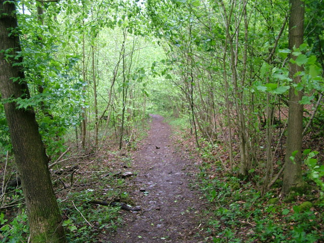
The walk starts from Whitebeck and follows bridleways upto Whitbarrow Scar. The internationally important reserve has a significant portion of the UK's limestone pavement. There's also ancient woodland, rich ground flora and tremendous views from the elevated position of Whitbarrow Scar. From the high point at Lord's Seat there are fine views over the River Kent Estuary and Morecambe Bay. There's also lots of wildlife to look out for with deer, buzzard, raven, sparrowhawk, woodcock, great spotted woodpecker, redstart and nuthatch.
The route then follows a circular path around the reserve before returning to Whitebeck.
To continue your walking in the valley head east from the reserve to pick up the Cumbria Coastal Way.
The valley is located close to the town of Kendal where you can try our Kendal Castle and River Walk. The climb to Cartmel Fell is located just to the west of the reserve where there are more nice views over the valley.
Lyth Valley Ordnance Survey Map  - view and print off detailed OS map
Lyth Valley Open Street Map  - view and print off detailed map
Lyth Valley OS Map  - Mobile GPS OS Map with Location tracking
Lyth Valley Open Street Map  - Mobile GPS Map with Location tracking
Further Information and Other Local Ideas
On the eastern side of the valley there's the National Trust's Brigsteer Woods to explore. The route additionally visits the 18th century Helsington Church where there is an excellent viewpoint with views over the Lyth Valley. Near here there's also the Sizergh Castle estate. The estate has some lovely gardens, orchards and semi-natural woodland to explore.


