Meltham Mills Reservoir
![]()
![]() This walk visits the Meltham Mills Reservoir in Meltham in West Yorkshire.
This walk visits the Meltham Mills Reservoir in Meltham in West Yorkshire.
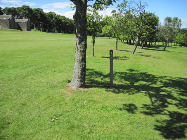
You can pick up footpaths on the eastern side of the town, just off Knowle Lane. These can be followed east through woodland to the small lake. There's then some nice paths to follow around the golf course which lies just to the south. It's a pretty area with nice views over the water to the surrounding woodland. You can also see water loving wildlife on the lake.
Just to the north of the reservoir you can easily extend your walk in the adjacent Honley Woods. There's some peaceful trails here with good views from the high points in the woods.
Postcode
HD9 4HX - Please note: Postcode may be approximate for some rural locationsMeltham Mills Reservoir Ordnance Survey Map  - view and print off detailed OS map
Meltham Mills Reservoir Open Street Map  - view and print off detailed map
Meltham Mills Reservoir OS Map  - Mobile GPS OS Map with Location tracking
Meltham Mills Reservoir Open Street Map  - Mobile GPS Map with Location tracking
Further Information and Other Local Ideas
Just a mile to the north west there's another little hidden gem at Folly Dolly Falls. These picturesque falls are well worth a visit, especially after heavy rain.


