Misarden Park and Miserden Walk
![]()
![]() This delightful circular walk in the Cotswolds visits the pretty village of Miserden and explores Misarden Park with its pretty lake and woodland trails.
This delightful circular walk in the Cotswolds visits the pretty village of Miserden and explores Misarden Park with its pretty lake and woodland trails.
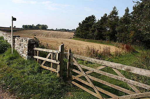
The walk starts in Miserden with its lovely Cotswold stone cottages, St Andrews Church, Village Hall, Post Office, Shop and Pub. From the village it is a short stroll to Misarden Gardens where you will find a 17th century Manor House surrounded by attractive topiary, a walled garden, herbaceous borders, specimen trees and a parterre. There is a nice waymarked footpath leading through the woodland and along the pretty lake with views of the River Frome. You can extend your walk by following a bridleway east through the woods to Winstone or heading south east through the countryside to Duntisbourne Abbots. The village of Edgeworth lies just to the south and the Macmillan Way long distance trail can be picked up near here.
Postcode
GL6 7JA - Please note: Postcode may be approximate for some rural locationsPlease click here for more information
Misarden Park Ordnance Survey Map  - view and print off detailed OS map
Misarden Park Open Street Map  - view and print off detailed map
Misarden Park OS Map  - Mobile GPS OS Map with Location tracking
Misarden Park Open Street Map  - Mobile GPS Map with Location tracking
Pubs/Cafes
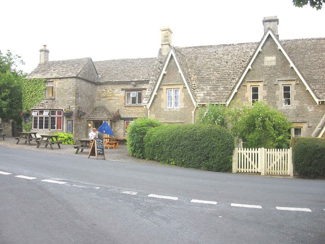
After your walk head to the Carpenters Arms where you can enjoy a lovely cream tea in the kitchen garden. The 17th century pub has a great menu and selection of real ales. It also organises country walks, ideal for anyone keen on exploring the local area.
Cycle Routes and Walking Routes Nearby
Photos
The Lodge, Misarden Park. The Victorian lodge at the gates to the much earlier house in its park (spelled differently from the neighbouring village).
Miserden. An attractive village by virtue of the consistency of its building material - local limestone. This view is from the junction at the centre, looking past cottages built in the 1860s down the lane towards the C18 Miserden House on the right. (Genuki reproduces a 1868 National Gazetteer entry naming the Elizabethan Misarden Patk (sic), out of sight, as Miserden House)
Miserden Village. A scene in Miserden, with an old red phone box still in use and a classic Bristol RE bus calling.
Church of St. Andrew. Early 11th Century Saxon nave, 12th Century Norman chancel, 14th Century Decorated porch, 15th Century Perpendicular tower & memorial chapel (south of the chancel), early 18th Century chapel south of nave, early 18th Century Georgian north chapel (1730). The church was restored in 1866 when the nave chapels were arcaded to give the appearance of aisles. At the same time the nave and chancel were reroofed, the windows altered and the chancel arch enlarged. Pictured is the south elevation.


