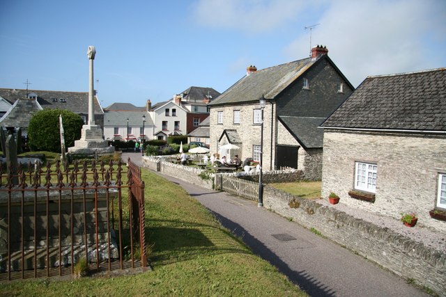
Mortehoe Circular
![]()
![]() This circular walk from Mortehoe visits Morte Point, Rockham Bay and Bull Point on the North Devon Coast. It's a lovely section of Exmoor coast with dramatic cliffs, beautiful countryside and pretty beaches. The area is managed by the National Trust so there are good footpaths and facilities in the area.
This circular walk from Mortehoe visits Morte Point, Rockham Bay and Bull Point on the North Devon Coast. It's a lovely section of Exmoor coast with dramatic cliffs, beautiful countryside and pretty beaches. The area is managed by the National Trust so there are good footpaths and facilities in the area.
The walk starts from the village of Mortehoe where there is a village car park. You follow a footpath through the countryside to Morte Point where there are some fascinating rock formations and great views towards Lundy Island. You then head east along the coast path to Bull Point, passing the lovely Rockham Bay and beach on the way. You should see lots of pretty wildlflowers in the summer along this stretch.
Just after Bull Point you pick up an inland footpath which takes you back to the village. Here you can enjoy refreshments at the Smuggler's Rest pub. You could also visit the Mortehoe Musuem and learn about the interesting history of smuggling and shipwrecks in the area.
It's easy to extend your walking in this lovely area by heading along the coast path to nearby Ilfracombe via Lee Bay. You could also visit the Woolacombe with its beautiful beaches and beyond that Baggy Point.
Postcode
EX34 7DR - Please note: Postcode may be approximate for some rural locationsMortehoe Circular Ordnance Survey Map  - view and print off detailed OS map
Mortehoe Circular Open Street Map  - view and print off detailed map
Mortehoe Circular OS Map  - Mobile GPS OS Map with Location tracking
Mortehoe Circular Open Street Map  - Mobile GPS Map with Location tracking
Explore the Area with Google Street View 
Pubs/Cafes
The Chichester Arms in Mortehoe is a pub of note, having originally been a 16th century vicarage. There's a good menu and a nice outdoor seating area to relax in after your walk. You can find it at postcode EX34 7DU.
The Smuggler's Rest (mentioned above) is another good option. It dates from the 1800s and also includes the delightful Miss Feas Cafe. Here you can soak up the summer sun in the lovely sheltered garden while enjoy a well earned snack. You can find the cafe in the village on North Morte Road at postcode EX34 7DR.
Further Information and Other Local Ideas
For another circular walk in the area head east to pick up the Ilfracombe to Lee Bay Walk. It takes you along the coast to the beautiful Lee Bay before using the old Ilfracombe to Ossaborough Railway Path to return to Ilfracombe. It also visits the woodland trails in the Borough Valley between Lee and Ossaborough.
For more walking ideas in the area see the Devon Walks, Exmoor Walks and North Devon Coast Walks pages.
Cycle Routes and Walking Routes Nearby
Photos
The coastal cemetery, Mortehoe. Looking out across the cemetery of St Mary's Church. The air-sea rescue helicopter in the distance and Lundy on the horizon.


